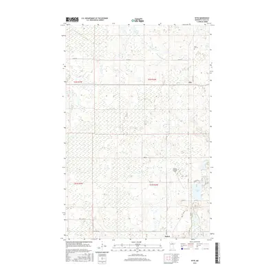
2016 Map of Effie
USGS Topo · Published 2016About this map
The Big Fork River carves through the southern landscape of this northern Minnesota quadrangle, where the small settlements of Effie and Bigfork serve as local hubs. This 2016 survey captures a region dominated by intricate wetlands and hydrological systems, with Bowerman Brook and Connors Lake providing key water features amidst the forest. The road network, including Hwy 38 and River Rd, reflects the area's transition from more densely populated township sections to the extensive marshlands that define the Itasca County interior.
Find a feature on this map
29 named features on this map. Tap any name to fly to it.
Don’t see what you’re looking for? This feature index may not catch every label — zoom into the map to look around manually.
Map Details
Editions of this 2016 Effie Map
This is the sole edition of this map. No revisions or reprints were ever made.
Other maps of this area
1918 · Zora
USGS Topo · 1:62,500
1919 · Zora
USGS Topo · 1:62,500
1919 · Marcell
USGS Topo · 1:62,500

1954 · Hibbing
USGS Topo · 1:250,000

1957 · Hibbing
USGS Topo · 1:250,000

1958 · Hibbing
USGS Topo · 1:250,000

1964 · Hibbing
USGS Topo · 1:250,000
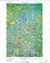
1970 · Coon Lake
USGS Topo · 1:24,000
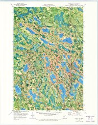
1970 · Spring Lake
USGS Topo · 1:24,000
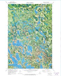
1970 · Bigfork
USGS Topo · 1:24,000