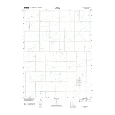
2009 Map of Effingham
USGS Topo · Published 2009About this map
Effingham serves as the primary population center in this portion of Atchison County, situated at the intersection of a well-defined section line road grid. The landscape is characterized by the Glacier Uplands, where several waterways including Little Grasshopper Creek and Brush Creek carve through the agricultural terrain. Local history is anchored by sites like Brush Creek Cemetery in the northern reach and the small settlement of Helena to the east.
Find a feature on this map
29 named features on this map. Tap any name to fly to it.
Don’t see what you’re looking for? This feature index may not catch every label — zoom into the map to look around manually.
Map Details
Editions of this 2009 Effingham Map
This is the sole edition of this map. No revisions or reprints were ever made.
Other maps of this area

1885 · Atchison
USGS Topo · 1:125,000

1886 · Oskaloosa
USGS Topo · 1:125,000

1888 · Oskaloosa
USGS Topo · 1:125,000

1888 · Atchison
USGS Topo · 1:125,000

1888 · Hiawatha
USGS Topo · 1:125,000

1889 · Topeka
USGS Topo · 1:125,000

1893 · Atchison
USGS Topo · 1:125,000

1894 · Oskaloosa
USGS Topo · 1:125,000

1894 · Topeka
USGS Topo · 1:125,000

1894 · Hiawatha
USGS Topo · 1:125,000