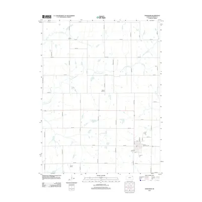
2012 Map of Effingham
USGS Topo · Published 2012About this map
Effingham serves as the primary hub of activity in this part of Atchison County, where the local grid meets the Atchison County Fairgrounds. The town's religious and civic history is anchored by the Saint Anns Catholic Cem and the Effingham Cem to the south. The landscape is defined by the Glacier Uplands, a terrain characterized by the winding paths of Little Grasshopper Cr and Brush Cr, reflecting the glacial legacy of the region.
Find a feature on this map
43 named features on this map. Tap any name to fly to it.
Don’t see what you’re looking for? This feature index may not catch every label — zoom into the map to look around manually.
Map Details
Editions of this 2012 Effingham Map
This is the sole edition of this map. No revisions or reprints were ever made.
Other maps of this area

1885 · Atchison
USGS Topo · 1:125,000

1886 · Oskaloosa
USGS Topo · 1:125,000

1888 · Oskaloosa
USGS Topo · 1:125,000

1888 · Atchison
USGS Topo · 1:125,000

1888 · Hiawatha
USGS Topo · 1:125,000

1889 · Topeka
USGS Topo · 1:125,000

1893 · Atchison
USGS Topo · 1:125,000

1894 · Oskaloosa
USGS Topo · 1:125,000

1894 · Topeka
USGS Topo · 1:125,000

1894 · Hiawatha
USGS Topo · 1:125,000