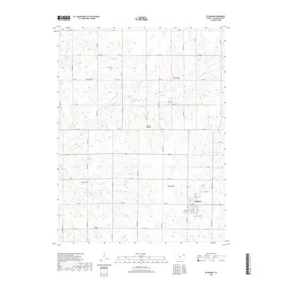
2018 Map of Effingham
USGS Topo · Published 2018About this map
Effingham serves as the primary hub of this eastern Kansas landscape, situated where the grid-based road network of Atchison County converges. This 2018 survey illustrates a region defined by agricultural productivity and small-town stability, with the residential core of the village concentrated around streets like Seabury St and Howard St. The surrounding countryside is drained by several waterways, including Brush Cr in the north and the winding Little Grasshopper Cr which cuts through the central sections. Local heritage is deeply rooted in several community burial grounds such as Saint Anns Catholic Cem and Effingham Cem. The map reveals a transition into the more elevated Glacier Uplands, while the presence of Strafuss Airport to the southwest of town indicates the ongoing importance of regional aviation in this rural setting.
Find a feature on this map
48 named features on this map. Tap any name to fly to it.
Don’t see what you’re looking for? This feature index may not catch every label — zoom into the map to look around manually.
Map Details
Editions of this 2018 Effingham Map
This is the sole edition of this map. No revisions or reprints were ever made.
Other maps of this area

1885 · Atchison
USGS Topo · 1:125,000

1886 · Oskaloosa
USGS Topo · 1:125,000

1888 · Oskaloosa
USGS Topo · 1:125,000

1888 · Atchison
USGS Topo · 1:125,000

1888 · Hiawatha
USGS Topo · 1:125,000

1889 · Topeka
USGS Topo · 1:125,000

1893 · Atchison
USGS Topo · 1:125,000

1894 · Oskaloosa
USGS Topo · 1:125,000

1894 · Topeka
USGS Topo · 1:125,000

1894 · Hiawatha
USGS Topo · 1:125,000