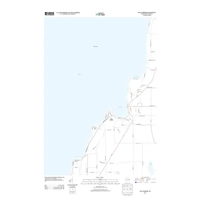
2013 Map of Egg Harbor
USGS Topo · Published 2013About this map
Egg Harbor serves as the focal point of this coastal survey, where the waters of Lake Michigan meet the distinctive limestone bluffs of the Door Peninsula. The map reveals a landscape defined by its indented shoreline, featuring the sheltered reaches of Juddville Bay and Horseshoe Bay. Navigation and recreation are central to the area's identity, evidenced by landmarks like Hat Island and the prominent Horseshoe Point.
Find a feature on this map
50 named features on this map. Tap any name to fly to it.
Don’t see what you’re looking for? This feature index may not catch every label — zoom into the map to look around manually.
Map Details
Editions of this 2013 Egg Harbor Map
This is the sole edition of this map. No revisions or reprints were ever made.
Other maps of this area

1954 · Escanaba
USGS Topo · 1:250,000

1954 · Manitowoc
USGS Topo · 1:250,000

1957 · Escanaba
USGS Topo · 1:250,000

1958 · Escanaba
USGS Topo · 1:250,000

1958 · Manitowoc
USGS Topo · 1:250,000

1960 · Sturgeon Bay
USGS Topo · 1:62,500

1960 · Jacksonport
USGS Topo · 1:62,500

1960 · Sister Bay
USGS Topo · 1:62,500

1961 · Chambers Island
USGS Topo · 1:62,500

1981 · Institute
USGS Topo · 1:24,000