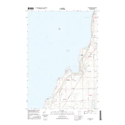
2016 Map of Egg Harbor
USGS Topo · Published 2016About this map
Egg Harbor and the neighboring settlements of Juddville and Fish Creek define this section of the Door County shoreline along Green Bay. The landscape is characterized by its dramatic coastal geography, where prominent bluffs such as Gibraltar Bluff and White Cliff overlook the waters of Strawberry Channel and Juddville Bay. Inland, the terrain rises into wooded ridges and agricultural parcels, punctuated by the small Lost Lake and several local burial grounds, including Egg Harbor Cemetery and Saint Johns Cemetery. Transportation follows the contours of the peninsula, with routes like Cottage Row and Peninsula Players Road reflecting the area's long-standing identity as a destination for seasonal residence and local arts. The map also records secluded landmarks like Hat Island and Horseshoe Point, which sit off the rugged coast between the established harbors.
Find a feature on this map
78 named features on this map. Tap any name to fly to it.
Don’t see what you’re looking for? This feature index may not catch every label — zoom into the map to look around manually.
Map Details
Editions of this 2016 Egg Harbor Map
This is the sole edition of this map. No revisions or reprints were ever made.
Other maps of this area

1954 · Escanaba
USGS Topo · 1:250,000

1954 · Manitowoc
USGS Topo · 1:250,000

1957 · Escanaba
USGS Topo · 1:250,000

1958 · Escanaba
USGS Topo · 1:250,000

1958 · Manitowoc
USGS Topo · 1:250,000

1960 · Sturgeon Bay
USGS Topo · 1:62,500

1960 · Jacksonport
USGS Topo · 1:62,500

1960 · Sister Bay
USGS Topo · 1:62,500

1961 · Chambers Island
USGS Topo · 1:62,500

1981 · Institute
USGS Topo · 1:24,000