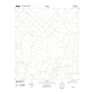
2010 Map of Egypt
USGS Topo · Published 2010About this map
Egypt stands as a focal point in this Wharton County landscape, situated where Peach Creek meets a network of rural routes like FM 102 RD. The area's mid-century economic character is defined by the Egypt Oil Field and Spanish Camp Oil Field, reflecting the region's long-standing connection to the petroleum industry. Local history is anchored by Camp Zion Cemetery and Old Jerusalem Cemetery, which serve as permanent markers of the community's early development.
Find a feature on this map
24 named features on this map. Tap any name to fly to it.
Don’t see what you’re looking for? This feature index may not catch every label — zoom into the map to look around manually.
Map Details
Editions of this 2010 Egypt Map
This is the sole edition of this map. No revisions or reprints were ever made.
Other maps of this area

1952 · Egypt
USGS Topo · 1:24,000

1953 · Wharton
USGS Topo · 1:24,000

1953 · Hungerford
USGS Topo · 1:24,000

1953 · Glen Flora
USGS Topo · 1:24,000

1953 · Seguin
USGS Topo · 1:250,000

1956 · Wallis
USGS Topo · 1:62,500

1957 · Eagle Lake
USGS Topo · 1:62,500

1958 · Seguin
USGS Topo · 1:250,000

1959 · Bonus
USGS Topo · 1:24,000

1960 · Lissie
USGS Topo · 1:24,000