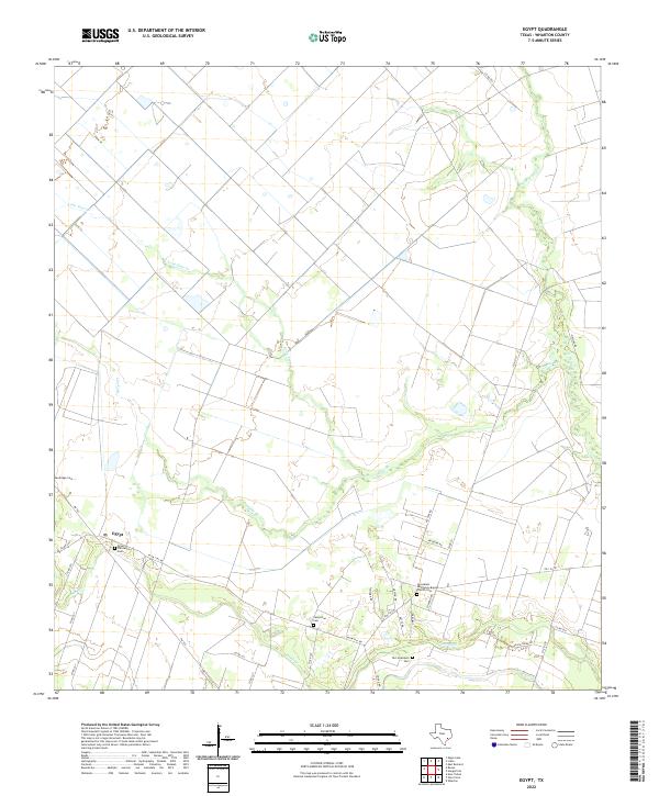
2022 Map of Egypt
USGS Topo · Published 2022About this map
The community of Egypt serves as the focal point of this agricultural region in Wharton County. The landscape is defined by the winding paths of W Bernard Cr and Peach Cr, which cut through a network of rural roads such as W FM 1161 RD and FM 102. This area is particularly dense with historical burial sites that offer significant value for genealogical research, including the Egypt Plantation Cem and the Jerusalem Missionary Baptist Church Cem. The concentration of these cemeteries alongside established waterways like Lone Tree Cr and Clarks Br suggests a long-standing settlement pattern tied to the fertile creek bottomlands. Traces of local landownership and family heritage are visible through named routes like Ustynik Rd and Coleman Rd, which cross the open terrain between the major creek drainages.
Find a feature on this map
35 named features on this map. Tap any name to fly to it.
Don’t see what you’re looking for? This feature index may not catch every label — zoom into the map to look around manually.
Map Details
Editions of this 2022 Egypt Map
This is the sole edition of this map. No revisions or reprints were ever made.
Other maps of this area

1952 · Egypt
USGS Topo · 1:24,000

1953 · Wharton
USGS Topo · 1:24,000

1953 · Hungerford
USGS Topo · 1:24,000

1953 · Glen Flora
USGS Topo · 1:24,000

1953 · Seguin
USGS Topo · 1:250,000

1956 · Wallis
USGS Topo · 1:62,500

1957 · Eagle Lake
USGS Topo · 1:62,500

1958 · Seguin
USGS Topo · 1:250,000

1959 · Bonus
USGS Topo · 1:24,000

1960 · Lissie
USGS Topo · 1:24,000