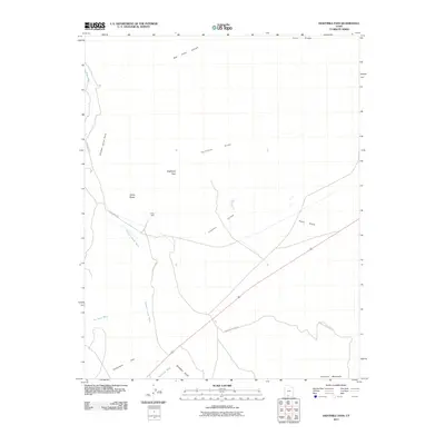
2011 Map of Eightmile Pass
USGS Topo · Published 2011About this map
Vermilion Cliffs dominate the upper elevations of this southern Utah landscape, where drainage patterns define the movement through the high desert. The area is marked by a complex system of dry washes and deep incisions, including the prominent Kitchen Corral Wash and Kimball Valley. These natural corridors have long dictated travel, as evidenced by the modern Park Wash Rd following the natural path of the wash toward Box Elder Canyon in the north.
Find a feature on this map
19 named features on this map. Tap any name to fly to it.
Don’t see what you’re looking for? This feature index may not catch every label — zoom into the map to look around manually.
Map Details
Editions of this 2011 Eightmile Pass Map
This is the sole edition of this map. No revisions or reprints were ever made.
Other maps of this area

1886 · Kanab
USGS Topo · 1:250,000

1886 · Escalante
USGS Topo · 1:250,000

1953 · Cedar City
USGS Topo · 1:250,000

1954 · Buckskin Gulch NW
USGS Topo · 1:24,000

1954 · Buckskin Gulch NE
USGS Topo · 1:24,000

1954 · Buckskin Gulch SE
USGS Topo · 1:24,000

1954 · Buckskin Gulch SW
USGS Topo · 1:24,000

1954 · Paria NW
USGS Topo · 1:24,000
1954 · Paria SW
USGS Topo · 1:24,000

1954 · Buckskin Gulch
USGS Topo · 1:62,500