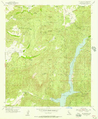
1955 Map of El Cajon Mtn
USGS Topo · Published 1957About this map
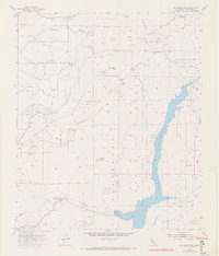
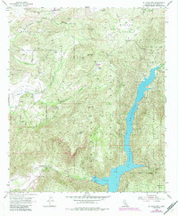
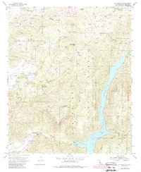
El Capitan Reservoir dominates the eastern half of this mid-century survey, its deep waters filling the canyon where the San Diego River meets Conejos Creek. The landscape is defined by the sharp transition between protected tribal lands and private ranching interests. The Barona Indian Reservation and Capitan Grande Indian Reservation cover significant portions of the high ground, punctuated by prominent peaks like El Cajon Mtn and Rock Mtn.
Find a feature on this map
39 named features on this map. Tap any name to fly to it.
Don’t see what you’re looking for? This feature index may not catch every label — zoom into the map to look around manually.
Map Details
Editions of this 1955 El Cajon Mtn Map
7 editions found
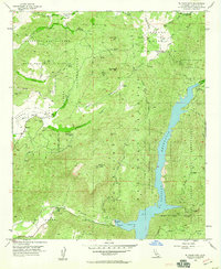
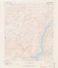
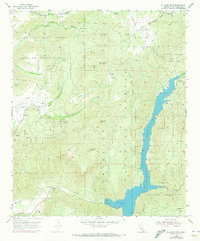
Other maps of this area

1893 · El Cajon
USGS Topo · 1:62,500

1901 · Elcajon
USGS Topo · 1:62,500

1903 · Cuyamaca
USGS Topo · 1:125,000

1903 · Elcajon
USGS Topo · 1:62,500

1903 · Ramona
USGS Topo · 1:125,000

1904 · Southern California Sheet No. 2
USGS Topo · 1:250,000

1939 · El Cajon
USGS Topo · 1:62,500

1939 · Santa Ysabel
USGS Topo · 1:62,500

1942 · El Cajon
USGS Topo · 1:62,500

1942 · Ramona
USGS Topo · 1:62,500