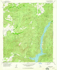
1955 Map of El Cajon Mtn
USGS Topo · Published 1960About this map
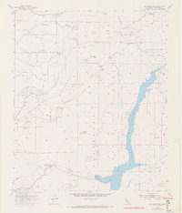
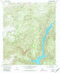
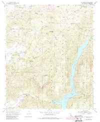
El Capitan Reservoir dominates the eastern landscape of this mid-century survey, fed by the San Diego River and contained by the El Capitan Dam. The surrounding terrain is defined by the steep transition from the Barona Mesa down into the river canyons, where family holdings like the Featherstone Ranch, Grable Ranch, and Poole Ranch suggest a rural ranching economy persisting alongside protected lands. Extensive areas are designated as the Barona Indian Reservation and Capitan Grande Indian Res, illustrating the complex land tenure of the Cleveland National Forest region. An intricate network of fire and maintenance roads, such as the Mykrantz Truck Trail and Gower Truck Trail, provides access to high points like El Cajon Mtn and San Vicente Mtn, marking a landscape managed for both water resources and forestry.
Find a feature on this map
43 named features on this map. Tap any name to fly to it.
Don’t see what you’re looking for? This feature index may not catch every label — zoom into the map to look around manually.
Map Details
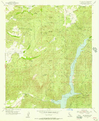
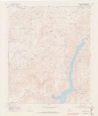
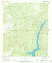
Editions of this 1955 El Cajon Mtn Map
7 editions found
Other maps of this area

1893 · El Cajon
USGS Topo · 1:62,500

1901 · Elcajon
USGS Topo · 1:62,500

1903 · Cuyamaca
USGS Topo · 1:125,000

1903 · Elcajon
USGS Topo · 1:62,500

1903 · Ramona
USGS Topo · 1:125,000

1904 · Southern California Sheet No. 2
USGS Topo · 1:250,000

1939 · El Cajon
USGS Topo · 1:62,500

1939 · Santa Ysabel
USGS Topo · 1:62,500

1942 · El Cajon
USGS Topo · 1:62,500

1942 · Ramona
USGS Topo · 1:62,500