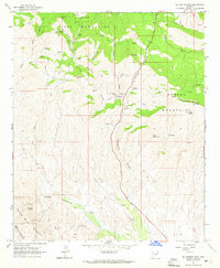
1964 Map of El Capitan Mtn
USGS Topo · Published 1965About this map
Mining operations and rugged peaks define this 1964 survey of Gila County, where the Pinal Mountains and Mescal Mountains meet. The map documents an active mineral history through several named sites, including the Silver Creek Mine, El Capitan Mine, and the Vanadium Mine near the southern border. These extraction points are connected by a network of jeep trails and older trails that wind through the steep drainage of El Capitan Canyon. The northeastern portion of the sheet transitions into the San Carlos Ind Res, while landmarks like Stone Cabin Mtn and Pasadera Mtn provide essential topographic orientation. The presence of features such as Trap Corral and a Cabin in the northwest suggests cattle ranching occurring alongside the region's deep-rooted prospecting efforts during the mid-20th century.
Find a feature on this map
35 named features on this map. Tap any name to fly to it.
Don’t see what you’re looking for? This feature index may not catch every label — zoom into the map to look around manually.
Map Details
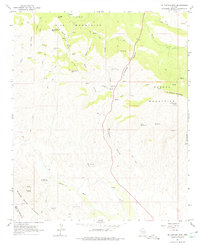
Editions of this 1964 El Capitan Mtn Map
2 editions found
Other maps of this area

1901 · Globe
USGS Topo · 1:62,500

1902 · Globe
USGS Topo · 1:62,500

1910 · Ray
USGS Topo · 1:62,500

1915 · Christmas
USGS Topo · 1:62,500

1917 · Christmas
USGS Topo · 1:62,500

1948 · Pinal Ranch
USGS Topo · 1:24,000

1949 · Pinal Ranch
USGS Topo · 1:24,000

1954 · Mesa
USGS Topo · 1:250,000

1957 · Mesa
USGS Topo · 1:250,000

1958 · Mesa
USGS Topo · 1:250,000