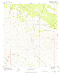
1964 Map of El Capitan Mtn
USGS Topo · Published 1975About this map
High desert extraction and cattle ranching define this mid-century landscape in Gila County. Several prospecting sites are scattered across the southern foothills of the Pinal Mountains and the Mescal Mountains, including the Silver Creek Mine, Silver Dime Mine, and the Vanadium Mine. These operations, along with the Cowboy Mine to the southwest, suggest a period of active mineral exploration and small-scale mining.
Find a feature on this map
37 named features on this map. Tap any name to fly to it.
Don’t see what you’re looking for? This feature index may not catch every label — zoom into the map to look around manually.
Map Details
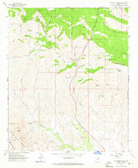
Editions of this 1964 El Capitan Mtn Map
2 editions found
Other maps of this area

1901 · Globe
USGS Topo · 1:62,500

1902 · Globe
USGS Topo · 1:62,500

1910 · Ray
USGS Topo · 1:62,500

1915 · Christmas
USGS Topo · 1:62,500

1917 · Christmas
USGS Topo · 1:62,500

1948 · Pinal Ranch
USGS Topo · 1:24,000

1949 · Pinal Ranch
USGS Topo · 1:24,000

1954 · Mesa
USGS Topo · 1:250,000

1957 · Mesa
USGS Topo · 1:250,000

1958 · Mesa
USGS Topo · 1:250,000