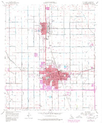
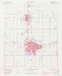
1957 Map of El Centro
USGS Topo · Published 1980About this map
The dense agricultural grid of the Imperial Valley defines this landscape, where the neighboring cities of Imperial and El Centro thrive in one of the nation's most productive desert farming regions. A complex web of irrigation infrastructure, including the Central Canal, Dahlia Canal, and Dogwood Canal, sustains the local economy. The southern portion of the sheet shows the urban expansion of El Centro around the Court House and Imperial Valley College, while the rail corridor of the Southern Pacific and the San Diego and Arizona Eastern Railroad facilitates the movement of local goods. Evidence of the valley's industrial roots is found at the Cotton Gin and several scattered labor camps. Notable civic landmarks include the Imperial County Airport, the Fairgrounds, and numerous local schools such as Wright Sch and Central Union H S.
Find a feature on this map
248 named features on this map. Tap any name to fly to it.
Don’t see what you’re looking for? This feature index may not catch every label — zoom into the map to look around manually.
Map Details
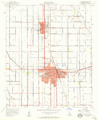
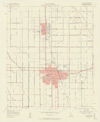
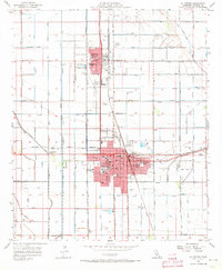
Editions of this 1957 El Centro Map
5 editions found
Other maps of this area

1907 · Holtville
USGS Topo · 1:125,000

1915 · El Centro
USGS Topo · 1:125,000

1940 · Brawley
USGS Topo · 1:62,500

1940 · Heber
USGS Topo · 1:62,500

1940 · Alamorio
USGS Topo · 1:62,500

1940 · Calexico
USGS Topo · 1:62,500

1942 · El Centro
USGS Topo · 1:250,000

1943 · Heber
USGS Topo · 1:62,500

1943 · Brawley
USGS Topo · 1:62,500

1943 · Calexico
USGS Topo · 1:62,500