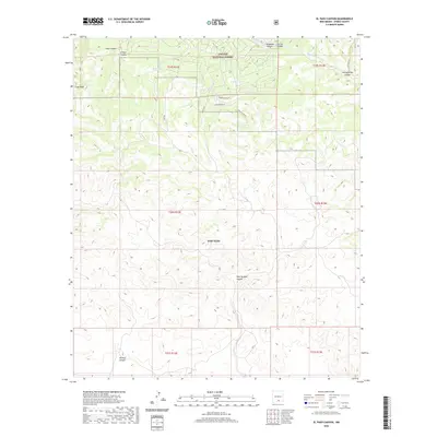
2020 Map of El Paso Canyon
USGS Topo · Published 2020About this map
Lincoln National Forest occupies the northern reaches of this Otero County landscape, where the terrain is defined by a dense network of drainages including El Paso Canyon and Arkansas Canyon. The northern border of Fort Bliss extends into the central and southern portions of the map, marking a significant intersection of public forest and military reservation. Settlement patterns are concentrated near the forest boundary, visible in the residential road layout featuring Mountainaire Dr, Longfellow Rd, and Pine Rd. Water management in this arid environment is evidenced by the presence of Rim Tank and Womack Tank, while the Sacramento River cuts through the northeastern corner. The topography is further characterized by prominent landmarks such as Culp Peak and numerous named canyons like Wildcat Canyon and Jim Jefferies Canyon, which provide important reference points for local navigation and land use history.
Find a feature on this map
25 named features on this map. Tap any name to fly to it.
Don’t see what you’re looking for? This feature index may not catch every label — zoom into the map to look around manually.
Map Details
Editions of this 2020 El Paso Canyon Map
This is the sole edition of this map. No revisions or reprints were ever made.
Other maps of this area

1943 · Pendejo Wash
USGS Topo · 1:62,500

1950 · Escondido Canyon
USGS Topo · 1:62,500

1954 · Carlsbad
USGS Topo · 1:250,000

1958 · Carlsbad
USGS Topo · 1:250,000

1965 · Bear Spring
USGS Topo · 1:24,000

1965 · Surveyors Canyon
USGS Topo · 1:24,000

1965 · Rogers Ruins
USGS Topo · 1:24,000

1965 · El Paso Canyon
USGS Topo · 1:24,000

1979 · Alamogordo
USGS Topo · 1:100,000

1979 · Crow Flats
USGS Topo · 1:100,000