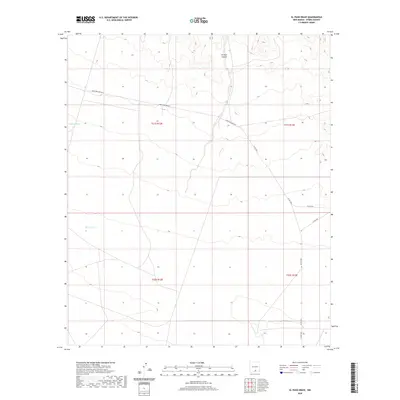
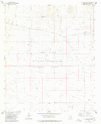
2020 Map of El Paso Draw
USGS Topo · Published 2020About this map
El Paso Canyon and the surrounding drainage systems of Wildcat Draw and El Paso Draw define this arid landscape in southeastern Otero County. The terrain is structured by a sparse network of modern county roads and the arterial Owen Prather Hwy, which cuts across the high desert topography. This recent survey by the U.S. Geological Survey illustrates the enduring spatial organization of the Public Land Survey System, specifically within the townships of t21s r12e, t21s r13e, t22s r12e, and t22s r13e. The map captures a moment of modern land management in New Mexico where ancient topographic features like El Paso Canyon meet contemporary infrastructure, providing a clear record of the region's current drainage patterns and rural access routes.
Find a feature on this map
13 named features on this map. Tap any name to fly to it.
Don’t see what you’re looking for? This feature index may not catch every label — zoom into the map to look around manually.
Map Details
Editions of this 2020 El Paso Draw Map
This is the sole edition of this map. No revisions or reprints were ever made.
Other maps of this area
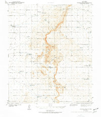
1943 · Pendejo Wash
USGS Topo · 1:62,500
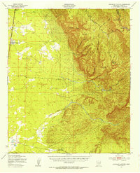
1950 · Escondido Canyon
USGS Topo · 1:62,500

1954 · Carlsbad
USGS Topo · 1:250,000

1958 · Carlsbad
USGS Topo · 1:250,000
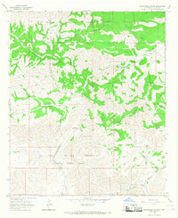
1965 · Surveyors Canyon
USGS Topo · 1:24,000
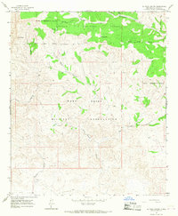
1965 · El Paso Canyon
USGS Topo · 1:24,000
1979 · Alamogordo
USGS Topo · 1:100,000
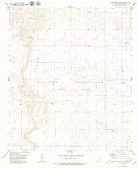
1979 · Otero Mesa South
USGS Topo · 1:24,000
1979 · Crow Flats
USGS Topo · 1:100,000
1980 · El Paso Draw
USGS Topo · 1:24,000