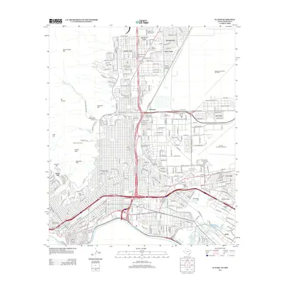
2012 Map of El Paso
USGS Topo · Published 2012About this map
Mt Franklin and the peaks of the Franklin Mountains dominate the western landscape, looking down over the urban expansion of El Paso during the early 21st century. The map reveals the deep layers of city history through designated heritage zones, including the Old San Francisco Historic District and the Manhattan Heights Historic District. To the east, the massive footprint of Fort Bliss and Biggs Army Airfield shapes the city's modern layout, while numerous smaller residential developments like Sunrise Acres and Cielo Vista fill the surrounding basins.
Find a feature on this map
40 named features on this map. Tap any name to fly to it.
Don’t see what you’re looking for? This feature index may not catch every label — zoom into the map to look around manually.
Map Details
Editions of this 2012 El Paso Map
This is the sole edition of this map. No revisions or reprints were ever made.
Other maps of this area

1896 · El Paso
USGS Topo · 1:125,000

1908 · El Paso
USGS Topo · 1:125,000

1917 · Canutillo
USGS Topo · 1:62,500

1919 · Canutillo
USGS Topo · 1:62,500

1939 · Ysleta
USGS Topo · 1:62,500

1941 · El Paso
USGS Topo · 1:31,680

1941 · Ysleta
USGS Topo · 1:62,500

1942 · Fort Bliss
USGS Topo · 1:62,500

1943 · El Paso
USGS Topo · 1:31,680

1945 · Ysleta
USGS Topo · 1:62,500