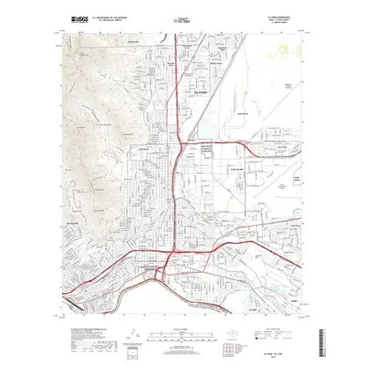
2019 Map of El Paso
USGS Topo · Published 2019About this map
The United States and Mexico border defines the southern edge of this West Texas landscape, where the Rio Grande flows past the Chamizal National Memorial. The city of El Paso is depicted in extensive detail, showing the dense grid of neighborhoods like Del Norte Acres and Sunrise Acres north of the sprawling Fort Bliss military reservation. This 2019 survey documents the massive transportation and military footprint in the region, from the runways of El Paso International Airport and Biggs Army Airfield to the intricate network of the Butterfield Trail. The high ground of the Franklin Mountains rises to the west, featuring peaks such as Mt Franklin and Ranger Peak, providing a stark contrast to the developed valley and the historic grounds of the Fort Bliss National Cemetery.
Find a feature on this map
48 named features on this map. Tap any name to fly to it.
Don’t see what you’re looking for? This feature index may not catch every label — zoom into the map to look around manually.
Map Details
Editions of this 2019 El Paso Map
This is the sole edition of this map. No revisions or reprints were ever made.
Other maps of this area

1896 · El Paso
USGS Topo · 1:125,000

1908 · El Paso
USGS Topo · 1:125,000

1917 · Canutillo
USGS Topo · 1:62,500

1919 · Canutillo
USGS Topo · 1:62,500

1939 · Ysleta
USGS Topo · 1:62,500

1941 · El Paso
USGS Topo · 1:31,680

1941 · Ysleta
USGS Topo · 1:62,500

1942 · Fort Bliss
USGS Topo · 1:62,500

1943 · El Paso
USGS Topo · 1:31,680

1945 · Ysleta
USGS Topo · 1:62,500