Loading...
Loading map...2024 Map of El Paso
USGS Topo · Published 2024About this map
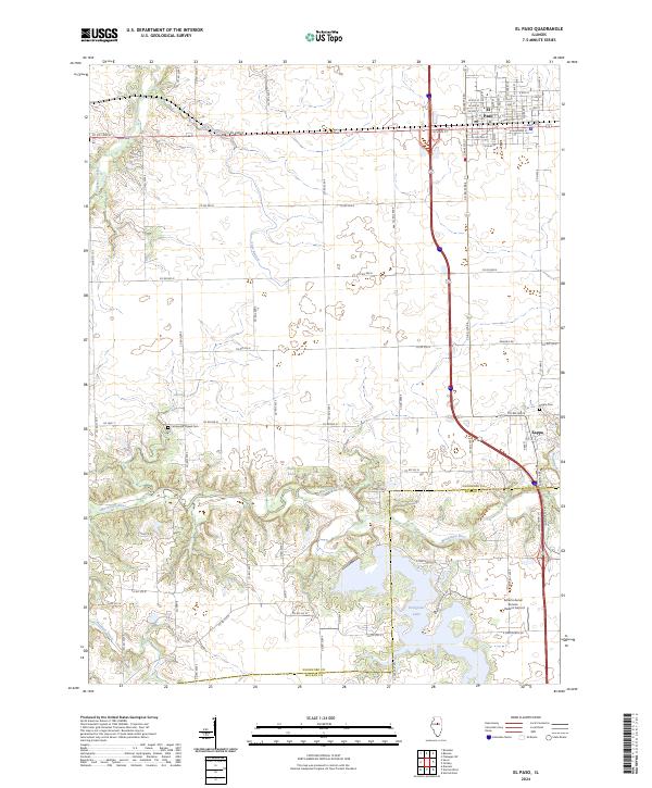
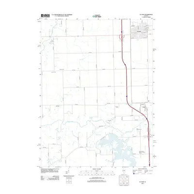
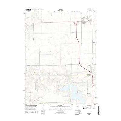
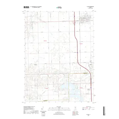
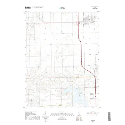
The town of El Paso anchors this landscape, where the agricultural grid of Central Illinois meets the winding drainage of the Mackinaw River. The street plan of the community is meticulously detailed, including named thoroughfares like N Fayette St, N Walnut St, and N Elm St. To the south, the village of Kappa sits near the crossing of Wolf Creek, while the southwestern portion of the sheet is dominated by the sprawling waters of Evergreen Lake.
Find a feature on this map
66 named features on this map. Tap any name to fly to it.
Don’t see what you’re looking for? This feature index may not catch every label — zoom into the map to look around manually.
Map Details
Date Portrayed2024
Date Published2024
PublisherU.S. Geological Survey
Map TypeTopographic
Scale1:24,000
Physical Dimensions24 x 29 inches
Editions of this 2024 El Paso Map
This is the sole edition of this map. No revisions or reprints were ever made.
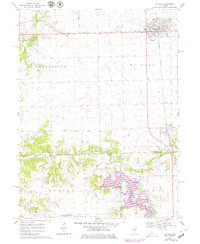
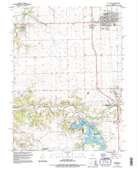
Historical Maps of El Paso Through Time
7 maps found
Featured Locations
Source Details
SourceU.S. Geological Survey
CopyrightPublic Domain