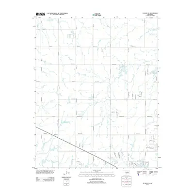
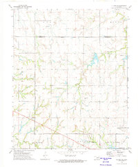
2013 Map of El Reno NE
USGS Topo · Published 2013About this map
Cottonwood Cr and its various tributaries define this drainage basin northwest of Oklahoma City, where the landscape is marked by a sophisticated network of flood control structures and reservoirs. Named water features such as Isabel Loosen Rein Reservoir, McClain 209 Reservoir, and the Uncle John Creek Site 12 Reservoir illustrate the mid-20th-century approach to managing the watershed in this prairie environment. This infrastructure supports both local agriculture and the development of residential lakeside communities like that surrounding Northwood Lake.
Find a feature on this map
79 named features on this map. Tap any name to fly to it.
Don’t see what you’re looking for? This feature index may not catch every label — zoom into the map to look around manually.
Map Details
Editions of this 2013 El Reno NE Map
This is the sole edition of this map. No revisions or reprints were ever made.
Other maps of this area

1892 · Kingfisher
USGS Topo · 1:125,000

1895 · Kingfisher
USGS Topo · 1:125,000

1954 · Oklahoma City
USGS Topo · 1:250,000

1957 · Oklahoma City
USGS Topo · 1:250,000

1963 · Oklahoma City
USGS Topo · 1:250,000
1966 · Bethany
USGS Topo · 1:24,000

1966 · Piedmont
USGS Topo · 1:24,000
1970 · Cashion
USGS Topo · 1:24,000
1972 · Kingfisher SE
USGS Topo · 1:24,000
1972 · El Reno NE
USGS Topo · 1:24,000