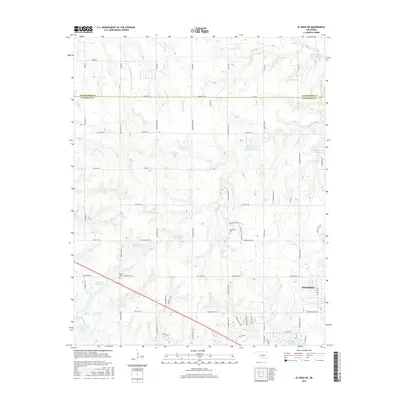
2016 Map of El Reno NE
USGS Topo · Published 2016About this map
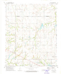
The boundary between Kingfisher Co and Canadian County defines the upper portion of this prairie landscape, where the growing residential footprint of Piedmont begins to expand toward the southeast. The area is characterized by a high concentration of managed water resources, including the Canadian County 5 Lake and specialized impoundments like the Isabel Loosen Rein Reservoir and M L McLain Reservoir. These water bodies are vital to the local agricultural and drainage network surrounding tributaries like Uncle Johns Cr and Clear Cr.
Find a feature on this map
65 named features on this map. Tap any name to fly to it.
Don’t see what you’re looking for? This feature index may not catch every label — zoom into the map to look around manually.
Map Details
Editions of this 2016 El Reno NE Map
This is the sole edition of this map. No revisions or reprints were ever made.
Other maps of this area

1892 · Kingfisher
USGS Topo · 1:125,000

1895 · Kingfisher
USGS Topo · 1:125,000

1954 · Oklahoma City
USGS Topo · 1:250,000

1957 · Oklahoma City
USGS Topo · 1:250,000

1963 · Oklahoma City
USGS Topo · 1:250,000
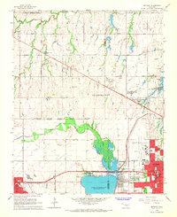
1966 · Bethany
USGS Topo · 1:24,000

1966 · Piedmont
USGS Topo · 1:24,000
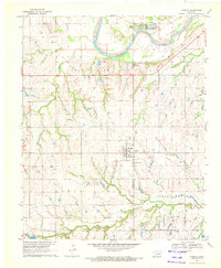
1970 · Cashion
USGS Topo · 1:24,000
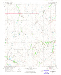
1972 · Kingfisher SE
USGS Topo · 1:24,000
1972 · El Reno NE
USGS Topo · 1:24,000