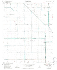
1954 Map of El Rico Ranch
USGS Topo · Published 1985About this map
The vast Tulare Lake Bed dominates this mid-century landscape in Kings County, illustrating a highly engineered agricultural environment. By the 1950s, the natural basin of the former lake was largely reclaimed through a complex network of irrigation and flood control, including the Lovelace Levee and Tule River channels. Large agricultural operations are evidenced by the El Rico Ranch and Richland Farms Camp, which suggest the presence of a seasonal labor force and centralized management of these fertile lands. Local civic life is anchored by the Dallas School and family-named landmarks like Helm Corner. The map meticulously details the infrastructure required to sustain industrial-scale farming in the San Joaquin Valley, from the Gates-Jones Canal to various pumping stations and labor camps that supported the local economy.
Find a feature on this map
33 named features on this map. Tap any name to fly to it.
Don’t see what you’re looking for? This feature index may not catch every label — zoom into the map to look around manually.
Map Details
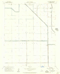
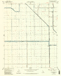
Editions of this 1954 El Rico Ranch Map
3 editions found
Other maps of this area

1914 · Lost Hills
USGS Topo · 1:125,000

1928 · Waukena
USGS Topo · 1:31,680

1928 · Corcoran
USGS Topo · 1:31,680

1929 · Guernsey
USGS Topo · 1:31,680

1929 · Stratford
USGS Topo · 1:31,680

1929 · West Alpaugh
USGS Topo · 1:31,680

1931 · Harvester
USGS Topo · 1:31,680

1932 · El Rico Ranch
USGS Topo · 1:31,680

1932 · Dudley Ridge
USGS Topo · 1:31,680

1933 · Chatom Ranch
USGS Topo · 1:31,680