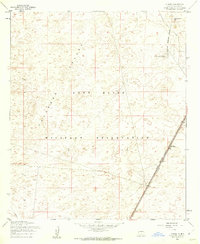
1955 Map of El Wood
USGS Topo · Published 1962About this map
Fort Bliss Military Reservation dominates this 1955 survey of the arid Tularosa Valley landscape. The terrain is characterized by intricate contouring of alluvial fans and desert flats, with Rattlesnake Hill serving as a prominent landmark in the northeast corner. Infrastructure is sparse, concentrated primarily along the corridor of the Southern Pacific railroad which cuts diagonally through the southeastern section. This transportation artery includes technical markers such as the R.R Semaphore near the small settlement of Elwood. Water sources are critical in this environment, evidenced by features like Mc Neic South Tank. The map reflects a mid-century military landscape where the vastness of the desert was utilized for large-scale training and defense operations, isolated from major civilian population centers.
Find a feature on this map
9 named features on this map. Tap any name to fly to it.
Don’t see what you’re looking for? This feature index may not catch every label — zoom into the map to look around manually.
Map Details
Editions of this 1955 El Wood Map
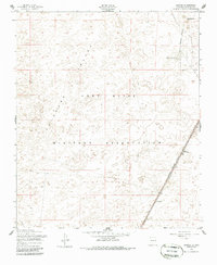
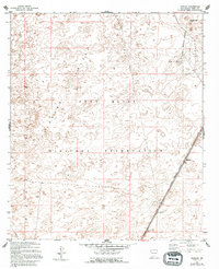
Other maps of this area

1940 · Orogrande
USGS Topo · 1:62,500

1940 · Newman
USGS Topo · 1:62,500

1941 · Desert
USGS Topo · 1:62,500

1943 · Parker Lake
USGS Topo · 1:62,500

1943 · Desert
USGS Topo · 1:62,500

1943 · Newman
USGS Topo · 1:62,500

1943 · Orogrande
USGS Topo · 1:62,500

1947 · Desert NE
USGS Topo · 1:24,000

1947 · Orogrande North
USGS Topo · 1:24,000

1948 · El Wood
USGS Topo · 1:24,000