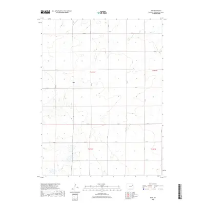
2019 Map of Elba
USGS Topo · Published 2019About this map
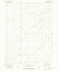
The high plains of Washington County are centered on the small settlement of Elba, a community defined by its remote location and the sparse network of rural roads that traverse the terrain. Water is a defining yet scarce feature in this landscape, with the drainage of Hell Cr cutting through the northern sections of the map. The geography is structured by a rigid section-line grid, visible in the alignment of routes like Co Rd 29 and Co Rd 26. This 2019 survey documents the enduring ranching and agricultural character of eastern Colorado, where development remains concentrated along specific corridors such as Co Rd 22. The map provides a precise view of the Public Land Survey System divisions, including t1s r52w and t1s r51w, which continue to dictate property and infrastructure patterns today.
Find a feature on this map
13 named features on this map. Tap any name to fly to it.
Don’t see what you’re looking for? This feature index may not catch every label — zoom into the map to look around manually.
Map Details
Editions of this 2019 Elba Map
This is the sole edition of this map. No revisions or reprints were ever made.
Other maps of this area
1954 · Limon
USGS Topo · 1:250,000

1954 · Sterling
USGS Topo · 1:250,000
1957 · Limon
USGS Topo · 1:250,000
1958 · Limon
USGS Topo · 1:250,000

1958 · Sterling
USGS Topo · 1:250,000
1973 · Antelope Creek East
USGS Topo · 1:24,000
1973 · Antelope Creek SE
USGS Topo · 1:24,000
1973 · Pinneo SE
USGS Topo · 1:24,000
1973 · Akron SE
USGS Topo · 1:24,000
1973 · Akron SW
USGS Topo · 1:24,000