Loading...
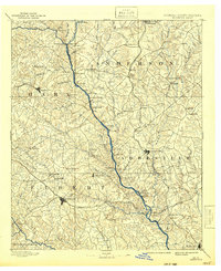
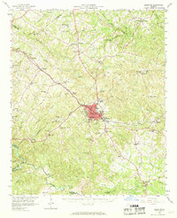
Loading map...1893 Map of Elberton
USGS Topo · Published 1942About this map
The Savannah River serves as the central artery for this late 19th-century survey, defining the border between Georgia and South Carolina as it flows past Derritt Island and Heard Island. This era is characterized by a landscape of small agricultural settlements and river crossings, before modern reservoirs altered the basin's geography. The map documents numerous centers of rural life, from Vannennes Church in the northeast to the county seat at Elberton.
Find a feature on this map
93 named features on this map. Tap any name to fly to it.
Don’t see what you’re looking for? This feature index may not catch every label — zoom into the map to look around manually.
Map Details
Date Portrayed1893
Date Published1942
PublisherU.S. Geological Survey
Map TypeTopographic
Scale1:125,000
Physical Dimensions17 x 21 inches
Editions of this 1893 Elberton Map
5 editions found

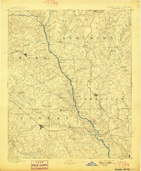
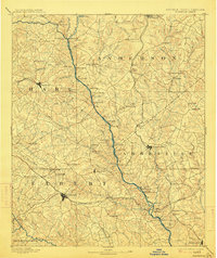
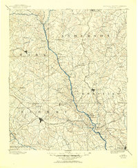
Historical Maps of Anderson Through Time
Featured Locations
Source Details
SourceU.S. Geological Survey
CopyrightPublic Domain