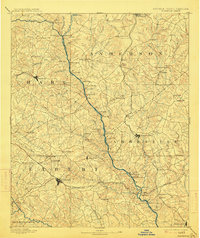
1893 Map of Elberton
USGS Topo · Published 1914About this map
The Savannah River serves as the central artery for this late 19th-century survey, defining the border between Georgia and South Carolina. This riverine landscape is marked by a complex network of crossings and landings that preceded modern bridging, such as Browns Ferry, Parks Ferry, and Moseley Ferry, highlighting the importance of water transport and local ferries in the era. The terrain transitions from the rail-centered commerce of Hartwell and Elberton to the rural industriousness of Craft Mill and Brewer Mill along the tributary creeks.
Find a feature on this map
137 named features on this map. Tap any name to fly to it.
Don’t see what you’re looking for? This feature index may not catch every label — zoom into the map to look around manually.
Map Details
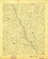
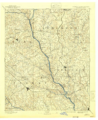
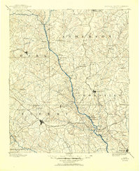
Editions of this 1893 Elberton Map
5 editions found
Other maps of this area

1886 · Walhalla
USGS Topo · 1:125,000

1888 · Pickens
USGS Topo · 1:125,000

1891 · Carnesville
USGS Topo · 1:125,000

1892 · Mc Cormick
USGS Topo · 1:125,000

1892 · Walhalla
USGS Topo · 1:125,000

1892 · Abbeville
USGS Topo · 1:125,000

1893 · Elberton
USGS Topo · 1:125,000

1894 · Pickens
USGS Topo · 1:125,000

1896 · Walhalla
USGS Topo · 1:125,000

1906 · Crawfordville
USGS Topo · 1:125,000