Loading...
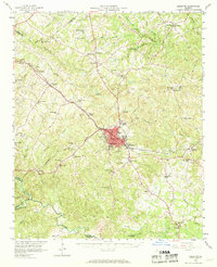
Loading map...1893 Map of Elberton
USGS Topo · Published 1951About this map
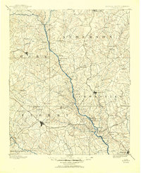
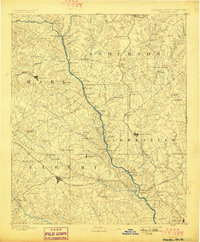
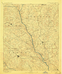
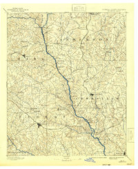
The Savannah River forms the central spine of this late 19th-century survey, defining the border between Georgia and South Carolina. This was a river-centric landscape of ferry crossings and industrial vitality before the massive reservoir projects of the mid-20th century permanently altered the valley. Dozens of family-named islands such as Derris Island, Heard Island, and Paris Island dot the river's course, while Craft Mill and Adams Mill highlight the importance of water power to the local economy.
Find a feature on this map
114 named features on this map. Tap any name to fly to it.
Don’t see what you’re looking for? This feature index may not catch every label — zoom into the map to look around manually.
Map Details
Date Portrayed1893
Date Published1951
PublisherU.S. Geological Survey
Map TypeTopographic
Scale1:125,000
Physical Dimensions17.1 x 20.9 inches
Editions of this 1893 Elberton Map
5 editions found

Historical Maps of Anderson Through Time
Featured Locations
Source Details
SourceU.S. Geological Survey
CopyrightPublic Domain