Loading...
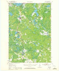
Loading map...1950 Map of Elcho
USGS Topo · Published 1972About this map
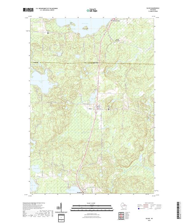
Elcho serves as a central hub in this 1950 aerial-compiled survey of the Northwoods, where the Chicago and North Western rail line dictates the placement of settlements like Koepenick and Pratt Junction. The landscape is defined by an intricate network of water and swamp, including the expansive Post Lake and the dense Bogus Swamp. This era of land management is evidenced by the presence of the Summit Lake Ranger Station and the Pence Lake Lookout Tower, reflecting a period focused on forest protection and natural resource oversight.
Find a feature on this map
105 named features on this map. Tap any name to fly to it.
Don’t see what you’re looking for? This feature index may not catch every label — zoom into the map to look around manually.
Map Details
Date Portrayed1950
Date Published1972
PublisherU.S. Geological Survey
Map TypeTopographic
Scale1:48,000
Physical Dimensions22.53 x 27.31 inches
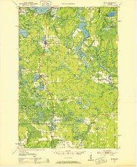
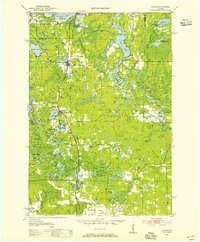
Editions of this 1950 Elcho Map
3 editions found
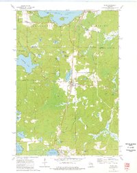
Historical Maps of Elcho Through Time
4 maps found

Featured Locations
Source Details
SourceU.S. Geological Survey
CopyrightPublic Domain