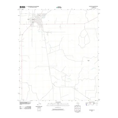
2010 Map of Eldorado
USGS Topo · Published 2010About this map
The high plateau of the Edwards Plateau transitions toward the Concho Valley in this 2010 study of Schleicher County. Eldorado serves as the focal point, its grid of streets concentrated near the headwaters of the South Concho River. The surrounding landscape is defined by intermittent drainage systems, most notably the winding paths of Antelope Draw and the North Valley Prong. These ephemeral watercourses illustrate the hydrological character of the region, where water management and ranching roads dictate the human footprint. Transportation is centered on a hub of regional routes including Old Sonora Rd and Ranch Rd 2596, while the Eldorado Airport provides a modern aerial link to this livestock-producing area. Local researchers will find the specific alignments of county roads like Co Rd 203 and Co Rd 412 useful for tracing property boundaries and land use patterns.
Find a feature on this map
13 named features on this map. Tap any name to fly to it.
Don’t see what you’re looking for? This feature index may not catch every label — zoom into the map to look around manually.
Map Details
Editions of this 2010 Eldorado Map
This is the sole edition of this map. No revisions or reprints were ever made.
Other maps of this area

1893 · Fort McKavett
USGS Topo · 1:125,000

1954 · Sonora
USGS Topo · 1:250,000

1958 · Sonora
USGS Topo · 1:250,000

1963 · Buffalo Well NW
USGS Topo · 1:24,000

1963 · Adams NW
USGS Topo · 1:24,000

1963 · Adams SW
USGS Topo · 1:24,000

1964 · Eldorado NW
USGS Topo · 1:24,000

1964 · Sonora NE
USGS Topo · 1:24,000

1964 · Eldorado SW
USGS Topo · 1:24,000

1964 · Sonora NW
USGS Topo · 1:24,000