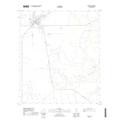
2019 Map of Eldorado
USGS Topo · Published 2019About this map
Eldorado serves as the focal point of this West Texas landscape, positioned near the headwaters of the S Concho River. The town grid is clearly defined by historical thoroughfares such as N Main St and Murchison Ave, while the surrounding terrain is marked by significant ephemeral drainage patterns including Meckel Draw and Antelope Draw. These features, along with the N Valley Prong, illustrate the complex hydrology of the Edwards Plateau region.
Find a feature on this map
38 named features on this map. Tap any name to fly to it.
Don’t see what you’re looking for? This feature index may not catch every label — zoom into the map to look around manually.
Map Details
Editions of this 2019 Eldorado Map
This is the sole edition of this map. No revisions or reprints were ever made.
Other maps of this area
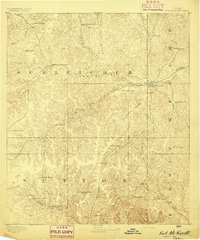
1893 · Fort McKavett
USGS Topo · 1:125,000
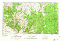
1954 · Sonora
USGS Topo · 1:250,000
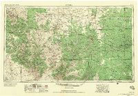
1958 · Sonora
USGS Topo · 1:250,000
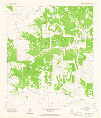
1963 · Buffalo Well NW
USGS Topo · 1:24,000
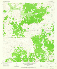
1963 · Adams NW
USGS Topo · 1:24,000
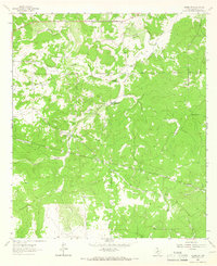
1963 · Adams SW
USGS Topo · 1:24,000
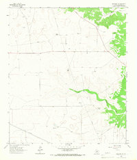
1964 · Eldorado NW
USGS Topo · 1:24,000
1964 · Sonora NE
USGS Topo · 1:24,000
1964 · Eldorado SW
USGS Topo · 1:24,000
1964 · Sonora NW
USGS Topo · 1:24,000