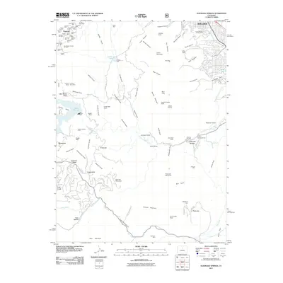
2011 Map of Eldorado Springs
USGS Topo · Published 2011About this map
Magnolia and the high mountain settlements west of Boulder are defined by a complex history of mining and water management. Numerous named shafts like the Tungsten Group Mine, Ophir Mine, and Mountain Lion Mine cluster in the northwest, illustrating the intense extraction that once drove the local economy. The landscape is dominated by the massive Gross Reservoir, held by the Gross Dam, and the sharp eastern rise of The Flatirons. To the south, residential enclaves such as Crescent Village, Copperdale, and Twin Spruce follow the winding course of Coal Creek Canyon. The map captures the interface between the urban edge of Boulder and the vertical terrain of South Boulder Peak, showing how infrastructure like the Community Ditch and South Boulder Foothills Ditch weaves through the foothills to serve the plains below.
Find a feature on this map
126 named features on this map. Tap any name to fly to it.
Don’t see what you’re looking for? This feature index may not catch every label — zoom into the map to look around manually.
Map Details
Editions of this 2011 Eldorado Springs Map
This is the sole edition of this map. No revisions or reprints were ever made.
Other maps of this area

1899 · West Denver
USGS Topo · 1:125,000

1902 · Boulder
USGS Topo · 1:62,500

1904 · Niwot
USGS Topo · 1:62,500

1904 · Boulder
USGS Topo · 1:62,500

1906 · Blackhawk
USGS Topo · 1:62,500

1939 · Golden
USGS Topo · 1:24,000

1942 · Eldorado Springs
USGS Topo · 1:24,000

1942 · Golden
USGS Topo · 1:31,680

1942 · Louisville
USGS Topo · 1:31,680

1942 · Tungsten
USGS Topo · 1:24,000