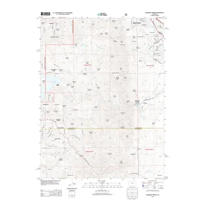
2013 Map of Eldorado Springs
USGS Topo · Published 2013About this map
Eldorado Springs and the eastern edge of the Roosevelt National Forest define the landscape of this 2013 survey, where the Front Range meets the plains. The map records a complex network of canyons and peaks, including the iconic The Flatirons and South Boulder Peak. Water management infrastructure is prominent throughout, from the massive Gross Reservoir on South Boulder Creek to a series of historic agricultural waterways like the Community Ditch, Davidson Ditch, and South Boulder Foothills Ditch.
Find a feature on this map
133 named features on this map. Tap any name to fly to it.
Don’t see what you’re looking for? This feature index may not catch every label — zoom into the map to look around manually.
Map Details
Editions of this 2013 Eldorado Springs Map
This is the sole edition of this map. No revisions or reprints were ever made.
Other maps of this area

1899 · West Denver
USGS Topo · 1:125,000

1902 · Boulder
USGS Topo · 1:62,500

1904 · Niwot
USGS Topo · 1:62,500

1904 · Boulder
USGS Topo · 1:62,500

1906 · Blackhawk
USGS Topo · 1:62,500

1939 · Golden
USGS Topo · 1:24,000

1942 · Eldorado Springs
USGS Topo · 1:24,000

1942 · Golden
USGS Topo · 1:31,680

1942 · Louisville
USGS Topo · 1:31,680

1942 · Tungsten
USGS Topo · 1:24,000