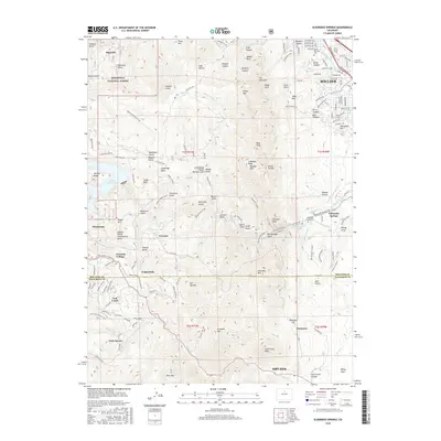
2016 Map of Eldorado Springs
USGS Topo · Published 2016About this map
The dramatic transition from the Front Range peaks to the plains is documented in this survey of the region between Boulder and Arvada. This area is characterized by significant water management infrastructure, most notably the large Gross Reservoir and the Anderson Extension Ditch, which redirect flow across the high-elevation terrain. Small mountain communities like Crescent Village, Copperdale, and Twin Spruce are linked by winding routes such as Coal Creek Canyon Dr and Gross Dam Rd. The eastern edge of the map shows the suburban expansion of Boulder, including Viele Lake and Kohler Reservoir, while the rugged interior remains protected within the Roosevelt National Forest. Prominent landmarks such as The Flatirons, Bear Peak, and S Boulder Peak dominate the skyline above Eldorado Springs, a historic resort area known for its unique geology and the Eldorado Springs Cem.
Find a feature on this map
122 named features on this map. Tap any name to fly to it.
Don’t see what you’re looking for? This feature index may not catch every label — zoom into the map to look around manually.
Map Details
Editions of this 2016 Eldorado Springs Map
This is the sole edition of this map. No revisions or reprints were ever made.
Other maps of this area

1899 · West Denver
USGS Topo · 1:125,000

1902 · Boulder
USGS Topo · 1:62,500

1904 · Niwot
USGS Topo · 1:62,500

1904 · Boulder
USGS Topo · 1:62,500

1906 · Blackhawk
USGS Topo · 1:62,500

1939 · Golden
USGS Topo · 1:24,000

1942 · Eldorado Springs
USGS Topo · 1:24,000

1942 · Golden
USGS Topo · 1:31,680

1942 · Louisville
USGS Topo · 1:31,680

1942 · Tungsten
USGS Topo · 1:24,000