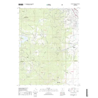
2019 Map of Eldorado Springs
USGS Topo · Published 2019About this map
The eastern front of the Rocky Mountains defines this 2019 survey, where the high-altitude landscape meets the urban edge of Boulder and Arvada. This section of the Roosevelt National Forest is characterized by dramatic geological formations, notably The Flatirons, Royal Arch, and South Boulder Peak. The interface between nature and infrastructure is evident in the presence of Gross Reservoir and the Aqueduct system, while the BNSF Railway winds through the steep terrain near the Boulder and Jefferson County line.
Find a feature on this map
174 named features on this map. Tap any name to fly to it.
Don’t see what you’re looking for? This feature index may not catch every label — zoom into the map to look around manually.
Map Details
Editions of this 2019 Eldorado Springs Map
This is the sole edition of this map. No revisions or reprints were ever made.
Other maps of this area

1899 · West Denver
USGS Topo · 1:125,000

1902 · Boulder
USGS Topo · 1:62,500

1904 · Niwot
USGS Topo · 1:62,500

1904 · Boulder
USGS Topo · 1:62,500

1906 · Blackhawk
USGS Topo · 1:62,500

1939 · Golden
USGS Topo · 1:24,000

1942 · Eldorado Springs
USGS Topo · 1:24,000

1942 · Golden
USGS Topo · 1:31,680

1942 · Louisville
USGS Topo · 1:31,680

1942 · Tungsten
USGS Topo · 1:24,000