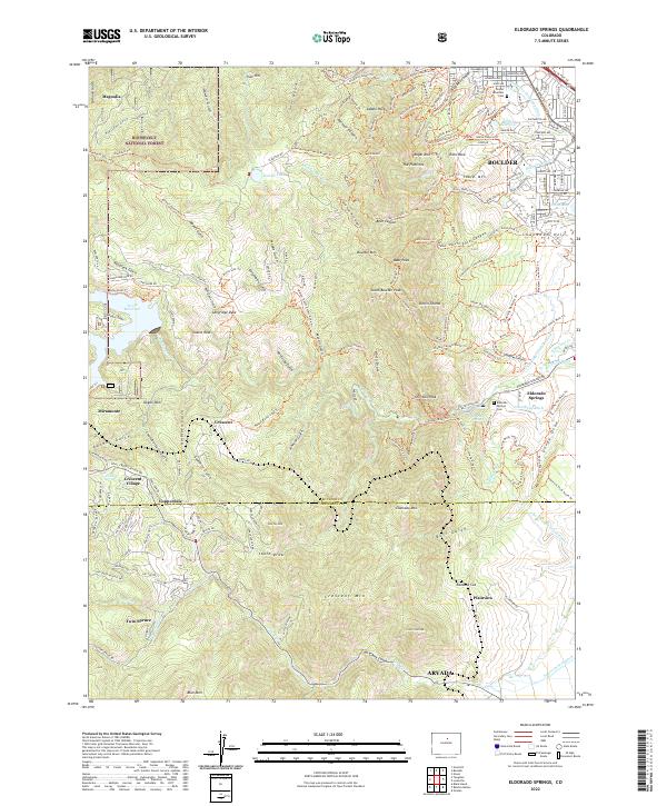
2022 Map of Eldorado Springs
USGS Topo · Published 2022About this map
The eastern slope of the Colorado Front Range meets the plains in this detailed topographic study, which tracks the boundary between Boulder and Jefferson counties. The iconic sandstone formations of The Flatirons overlook the southern edge of Boulder, while the Union Pacific RR winds through the canyons, passing the small settlement at Crescent and the community of Copperdale.
Find a feature on this map
180 named features on this map. Tap any name to fly to it.
Don’t see what you’re looking for? This feature index may not catch every label — zoom into the map to look around manually.
Map Details
Editions of this 2022 Eldorado Springs Map
This is the sole edition of this map. No revisions or reprints were ever made.
Other maps of this area

1899 · West Denver
USGS Topo · 1:125,000

1902 · Boulder
USGS Topo · 1:62,500

1904 · Niwot
USGS Topo · 1:62,500

1904 · Boulder
USGS Topo · 1:62,500

1906 · Blackhawk
USGS Topo · 1:62,500

1939 · Golden
USGS Topo · 1:24,000

1942 · Eldorado Springs
USGS Topo · 1:24,000

1942 · Golden
USGS Topo · 1:31,680

1942 · Louisville
USGS Topo · 1:31,680

1942 · Tungsten
USGS Topo · 1:24,000