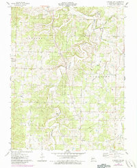
1976 Map of Eldridge East
USGS Topo · Published 1985About this map
Goodwin Hollow and High Hollow cut deep paths through this section of the Ozark Plateau, where the dispersed settlements of Eldridge, Bidwell, and Dove represent the rural hub of western Laclede County. The map provides a remarkable density of genealogical data, preserving the locations of numerous family and community burial grounds including Goodwin Calvary Cemetery, Butcher Cemetery, and Fulbright Cemetery.
Find a feature on this map
31 named features on this map. Tap any name to fly to it.
Don’t see what you’re looking for? This feature index may not catch every label — zoom into the map to look around manually.
Map Details
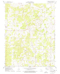
Editions of this 1976 Eldridge East Map
2 editions found
Other maps of this area

1933 · Stoutland
USGS Topo · 1:62,500

1934 · Macks Creek
USGS Topo · 1:48,000

1938 · Stoutland
USGS Topo · 1:62,500

1939 · Macks Creek
USGS Topo · 1:62,500

1939 · Long Lane
USGS Topo · 1:62,500

1941 · Lebanon
USGS Topo · 1:62,500

1942 · Long Lane
USGS Topo · 1:62,500

1943 · Lebanon
USGS Topo · 1:62,500

1954 · Springfield
USGS Topo · 1:250,000

1958 · Springfield
USGS Topo · 1:250,000