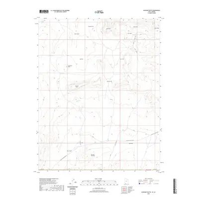
2020 Map of Elephant Butte
USGS Topo · Published 2020About this map
Elephant Butte and the towering White Cliffs dominate this high-desert landscape along the Arizona and Utah border. The terrain is defined by a series of prominent mesas and deep canyons, including Rock Canyon and Rosy Canyon, which carve through the Moccasin Mountains. Water sources are vital markers in this arid environment, with numerous named springs such as Pine Spring, Esplin Spring, and Langston Willow Spring scattered across the flats and foothills.
Find a feature on this map
34 named features on this map. Tap any name to fly to it.
Don’t see what you’re looking for? This feature index may not catch every label — zoom into the map to look around manually.
Map Details
Editions of this 2020 Elephant Butte Map
This is the sole edition of this map. No revisions or reprints were ever made.
Other maps of this area

1886 · Kanab
USGS Topo · 1:250,000

1886 · Kaibab
USGS Topo · 1:250,000

1953 · Cedar City
USGS Topo · 1:250,000

1953 · Grand Canyon
USGS Topo · 1:250,000

1954 · Kanab SW
USGS Topo · 1:24,000

1954 · Fredonia NW
USGS Topo · 1:24,000
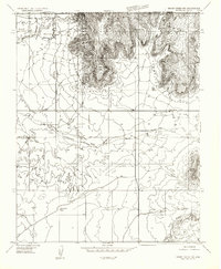
1954 · Short Creek NW
USGS Topo · 1:24,000

1954 · Fredonia
USGS Topo · 1:62,500

1954 · Short Creek
USGS Topo · 1:62,500
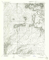
1956 · Springdale SE
USGS Topo · 1:24,000