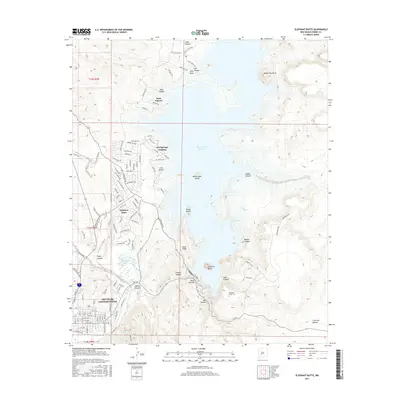
2017 Map of Elephant Butte
USGS Topo · Published 2017About this map
Truth or Consequences sits at the southern edge of this study, positioned where the Rio Grande flows away from the massive Elephant Butte Reservoir. This high-desert landscape is defined by the tension between the vast water storage and the intricate network of canyons and ridges that feed it, including McRae Canyon and Cuchillo Negro Creek. The residential and recreational expansion around the reservoir is evident in the street grids of Elephant Butte and the smaller enclave at Hot Springs Landing. Shoreline features like Lions Beach and the isolated Rattlesnake Island emphasize the area's role as a regional hub for water-based activity. To the east, the terrain rises sharply toward Kettle Top Butte, while the Elephant Butte Cem provides a quiet link to the local history of the Sierra County families who have worked and lived along these banks.
Find a feature on this map
121 named features on this map. Tap any name to fly to it.
Don’t see what you’re looking for? This feature index may not catch every label — zoom into the map to look around manually.
Map Details
Editions of this 2017 Elephant Butte Map
This is the sole edition of this map. No revisions or reprints were ever made.
Other maps of this area

1954 · Tularosa
USGS Topo · 1:250,000

1958 · Tularosa
USGS Topo · 1:250,000

1958 · Elephant Butte
USGS Topo · 1:24,000

1959 · Engle
USGS Topo · 1:62,500

1961 · Huerfano Hill
USGS Topo · 1:24,000

1961 · Black Bluffs
USGS Topo · 1:24,000

1961 · Crocker
USGS Topo · 1:24,000

1961 · Williamsburg
USGS Topo · 1:24,000

1961 · Cuchillo
USGS Topo · 1:24,000

1979 · Truth or Consequences
USGS Topo · 1:100,000
Featured Places
- Truth or Consequences, NM
- Elephant Butte, NM
- Rock Canyon, NM
- Hot Springs Landing, NM
- Elephant Butte Estates, NM