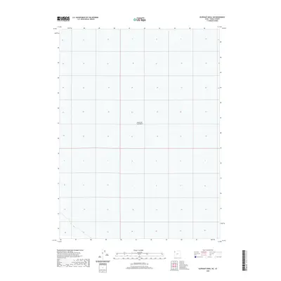
2020 Map of Elephant Knoll NE
USGS Topo · Published 2020About this map
The Great Salt Lake Desert dominates this landscape, presenting a stark expanse that highlights the extreme conditions of western Tooele County. This survey reflects a region defined by its lack of conventional water sources and permanent settlements, focusing instead on the vast alkaline flats of the basin. The grid of the Public Land Survey System is superimposed over the featureless terrain, illustrating how 20th and 21st-century cartographers organized this challenging environment for administrative and federal oversight. While the map is sparse by traditional standards, it provides a precise look at the elevation contours and coordinate systems of an area primarily managed by the Bureau of Land Management.
Find a feature on this map
1 named feature on this map. Tap any name to fly to it.
Don’t see what you’re looking for? This feature index may not catch every label — zoom into the map to look around manually.
Map Details
Editions of this 2020 Elephant Knoll NE Map
This is the sole edition of this map. No revisions or reprints were ever made.
Other maps of this area

1953 · Tooele
USGS Topo · 1:250,000

1955 · Tooele
USGS Topo · 1:250,000

1972 · Elephant Knoll
USGS Topo · 1:24,000
1972 · Elephant Knoll NW
USGS Topo · 1:24,000
1972 · Elephant Knoll NE
USGS Topo · 1:24,000

1972 · Elephant Knoll SE
USGS Topo · 1:24,000

1973 · Arinosa SW
USGS Topo · 1:24,000
1973 · Salduro SW
USGS Topo · 1:24,000

1973 · Salduro SE
USGS Topo · 1:24,000

1973 · Gold Hill 1 SW
USGS Topo · 1:24,000