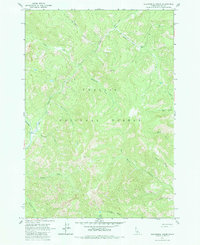
1963 Map of Elevenmile Creek
USGS Topo · Published 1984About this map
Challis National Forest dominates this Idaho landscape, characterized by a complex drainage system within the high country of Custer County. The map details a series of numerically named waterways, from Twelvemile Creek in the north down to Fivemile Creek in the southwest, all feeding into larger systems like the Yankee Fork and Basin Creek. This numerical naming convention suggests a systematic approach by early explorers or prospectors navigating these mountain valleys.
Find a feature on this map
22 named features on this map. Tap any name to fly to it.
Don’t see what you’re looking for? This feature index may not catch every label — zoom into the map to look around manually.
Map Details
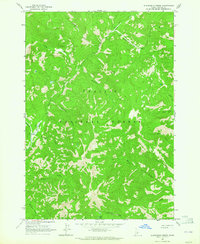
Editions of this 1963 Elevenmile Creek Map
2 editions found
Other maps of this area

1919 · Custer
USGS Topo · 1:125,000

1922 · Custer
USGS Topo · 1:125,000

1929 · Bayhorse
USGS Topo · 1:125,000

1930 · Casto
USGS Topo · 1:125,000

1956 · Twin Peaks
USGS Topo · 1:62,500

1957 · Challis
USGS Topo · 1:250,000

1960 · Challis
USGS Topo · 1:250,000

1963 · Challis
USGS Topo · 1:250,000

1963 · Challis Creek Lakes
USGS Topo · 1:24,000

1963 · Custer
USGS Topo · 1:24,000