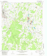
1982 Map of Elgin East
USGS Topo · Published 1982About this map
Industrial and military landscapes converge east of Elgin in this early 1980s record of Central Texas. The eastern outskirts of the city are defined by the convergence of the Southern Pacific and Missouri Kansas Texas railroads, supporting a network of claypits and gravel operations that underpin the local economy near Butler. The southern portion of the sheet is dominated by the sprawling acreage of the Camp Swift Military Reservation, where a network of jeep roads and trails winds through the terrain near Scott Hill.
Find a feature on this map
33 named features on this map. Tap any name to fly to it.
Don’t see what you’re looking for? This feature index may not catch every label — zoom into the map to look around manually.
Map Details
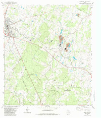
Editions of this 1982 Elgin East Map
2 editions found
Other maps of this area

1885 · Bastrop
USGS Topo · 1:125,000

1893 · Bastrop
USGS Topo · 1:125,000

1904 · Bastrop
USGS Topo · 1:125,000

1948 · Smithville
USGS Topo · 1:62,500

1948 · Elgin
USGS Topo · 1:62,500

1948 · Bastrop
USGS Topo · 1:62,500

1948 · Lexington
USGS Topo · 1:62,500

1950 · Lexington
USGS Topo · 1:62,500

1950 · Bastrop
USGS Topo · 1:62,500

1950 · Smithville
USGS Topo · 1:62,500