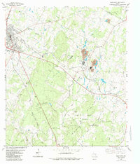
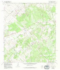
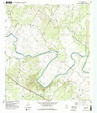
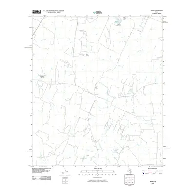
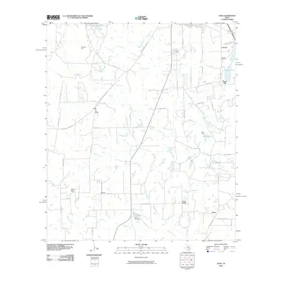
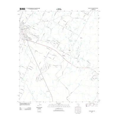
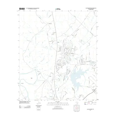
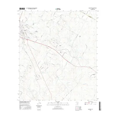
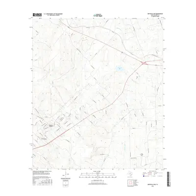
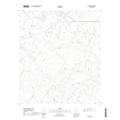
1982 Map of Elgin East
USGS Topo · Published 1984About this map
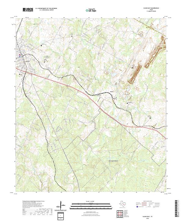
Industrial and rural landscapes intersect at the boundary of Lee and Bastrop counties in this early 1980s topographical study. The eastern outskirts of Elgin serve as a transportation hub where the Missouri Kansas Texas and Southern Pacific railroads converge. This era shows a landscape defined by resource extraction and military utility, centered on the extensive Claypits and filtration infrastructure near the settlement of Butler.
Find a feature on this map
43 named features on this map. Tap any name to fly to it.
Don’t see what you’re looking for? This feature index may not catch every label — zoom into the map to look around manually.
Map Details
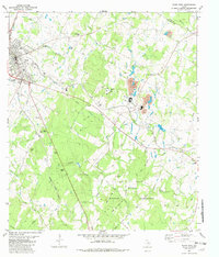
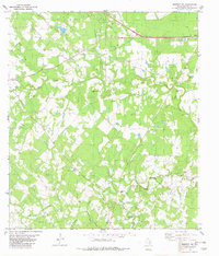
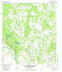
Editions of this 1982 Elgin East Map
2 editions found
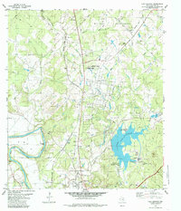
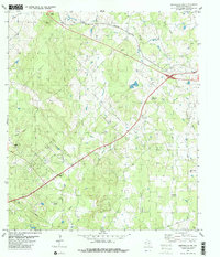
Historical Maps of Elgin Through Time
54 maps found
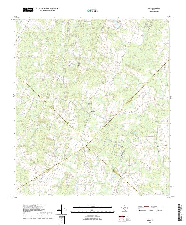
1964 Jeddo
Bastrop County, TX
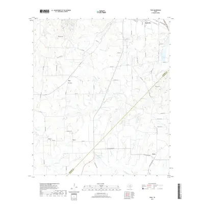
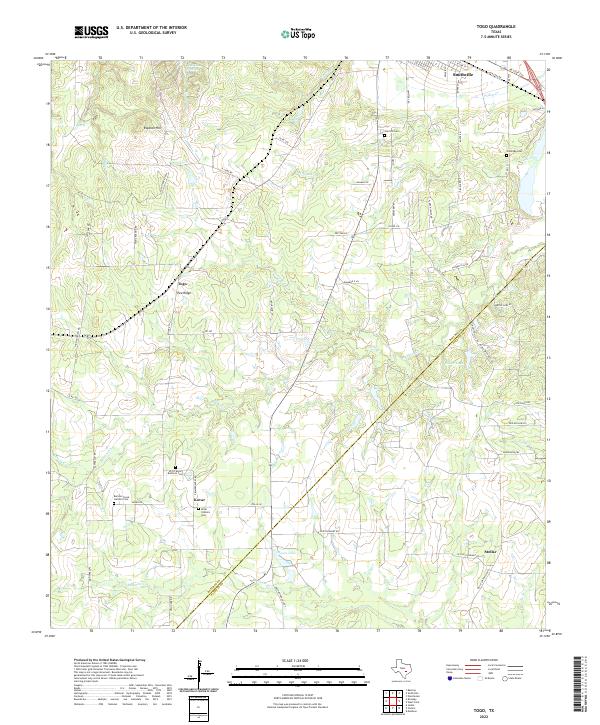
1964 Togo
Bastrop County, TX
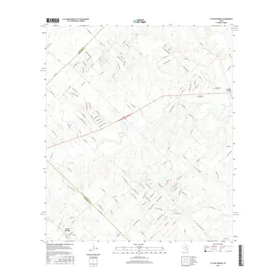
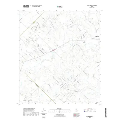
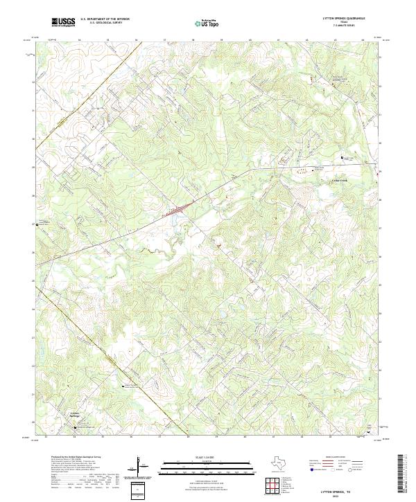
1968 Lytton Springs
Bastrop County, TX
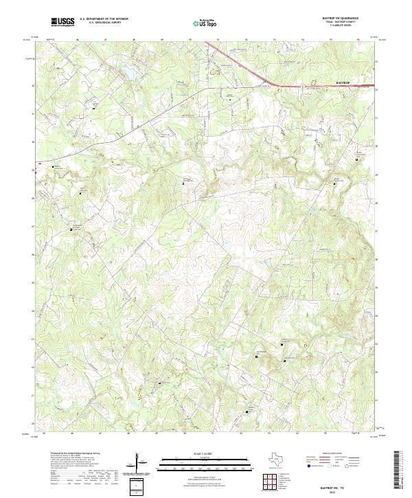
1982 Bastrop SW
Bastrop County, TX
1982 Elgin East
Bastrop County, TX
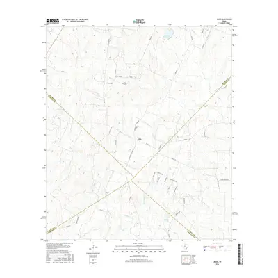
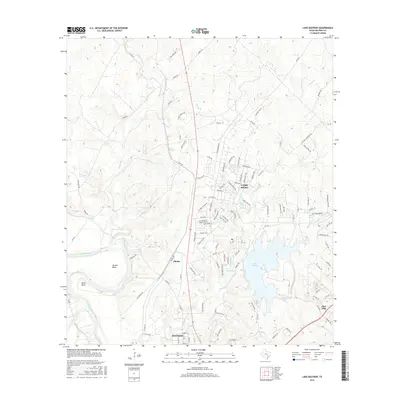
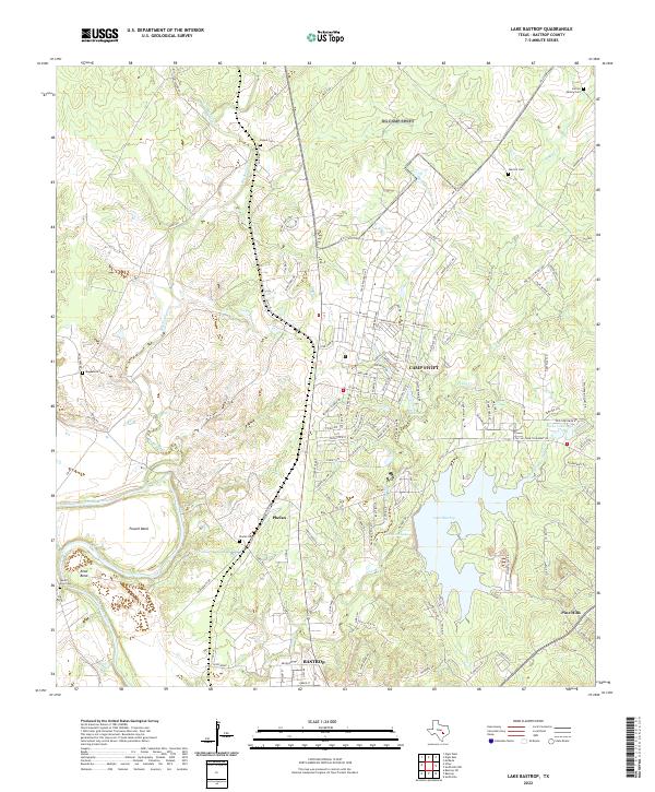
1982 Lake Bastrop
Bastrop County, TX
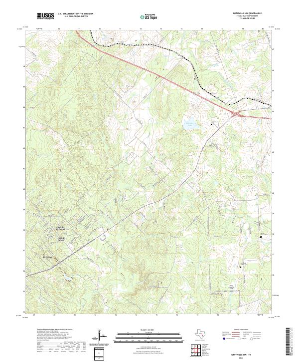
1982 Smithville NW
Bastrop County, TX
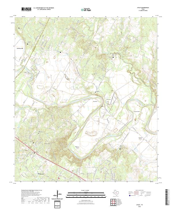
1982 Utley
Bastrop County, TX
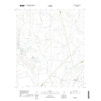
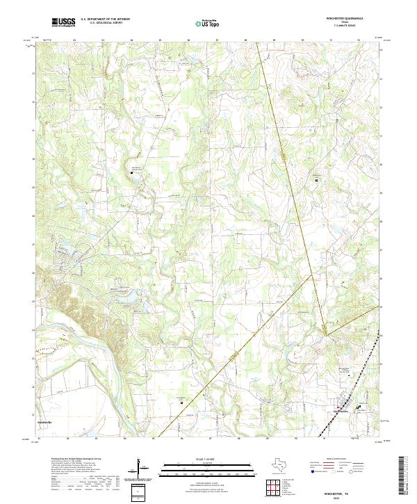
1982 Winchester
Bastrop County, TX
2010 Bastrop SW
Bastrop County, TX
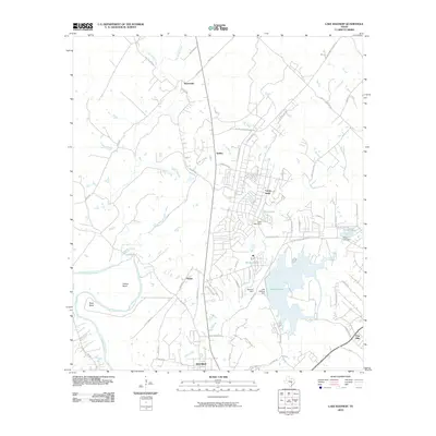
2010 Elgin East
Bastrop County, TX
2010 Jeddo
Bastrop County, TX
2010 Lake Bastrop
Bastrop County, TX
2010 Lytton Springs
Bastrop County, TX
2010 Smithville NW
Bastrop County, TX
2010 Togo
Bastrop County, TX
2010 Utley
Bastrop County, TX
2010 Winchester
Bastrop County, TX
2012 Bastrop SW
Bastrop County, TX
2012 Elgin East
Bastrop County, TX
2012 Lytton Springs
Bastrop County, TX
2012 Smithville NW
Bastrop County, TX
2013 Jeddo
Bastrop County, TX
2013 Lake Bastrop
Bastrop County, TX
2013 Togo
Bastrop County, TX

2013 Utley
Bastrop County, TX
2013 Winchester
Bastrop County, TX
2016 Bastrop SW
Bastrop County, TX
2016 Elgin East
Bastrop County, TX
2016 Jeddo
Bastrop County, TX
2016 Lake Bastrop
Bastrop County, TX
2016 Lytton Springs
Bastrop County, TX
2016 Smithville NW
Bastrop County, TX
2016 Togo
Bastrop County, TX
2016 Utley
Bastrop County, TX
2016 Winchester
Bastrop County, TX
2019 Bastrop SW
Bastrop County, TX
2019 Elgin East
Bastrop County, TX
2019 Jeddo
Bastrop County, TX
2019 Lake Bastrop
Bastrop County, TX
2019 Lytton Springs
Bastrop County, TX
2019 Smithville NW
Bastrop County, TX
2019 Togo
Bastrop County, TX
2019 Utley
Bastrop County, TX
2019 Winchester
Bastrop County, TX
2022 Bastrop SW
Bastrop County, TX
2022 Elgin East
Bastrop County, TX
2022 Jeddo
Bastrop County, TX
2022 Lake Bastrop
Bastrop County, TX
2022 Lytton Springs
Bastrop County, TX
2022 Smithville NW
Bastrop County, TX
2022 Togo
Bastrop County, TX
2022 Utley
Bastrop County, TX
2022 Winchester
Bastrop County, TX