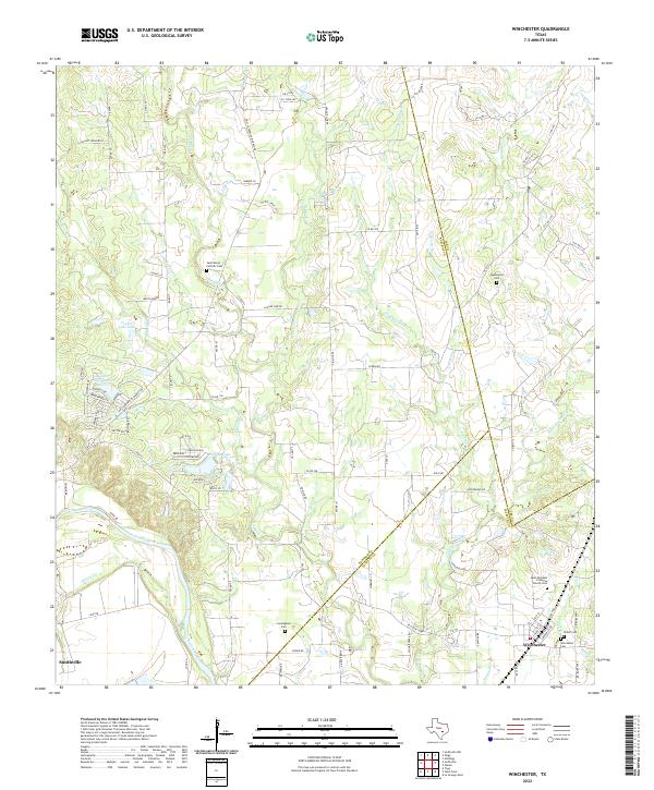
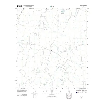
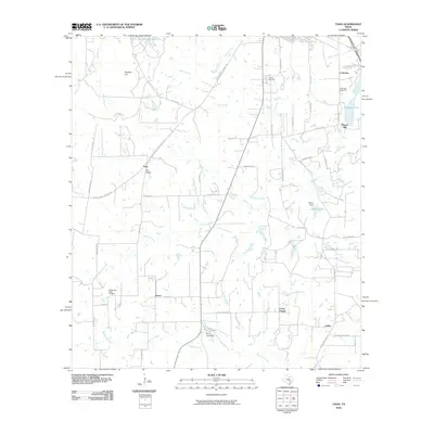
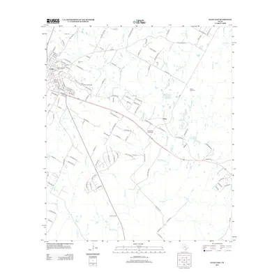
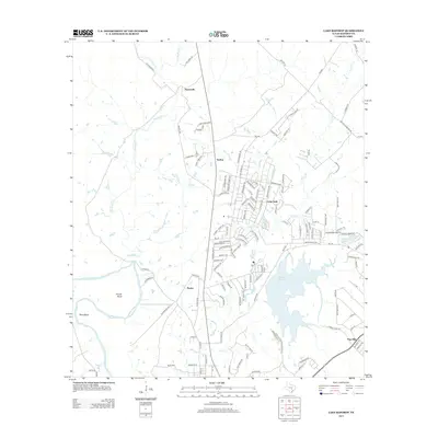
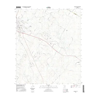
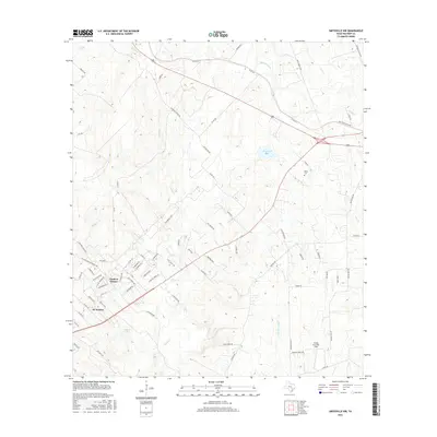
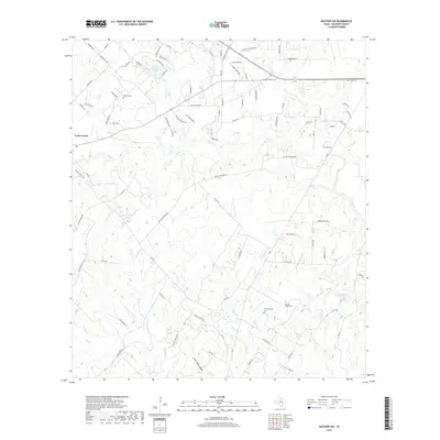
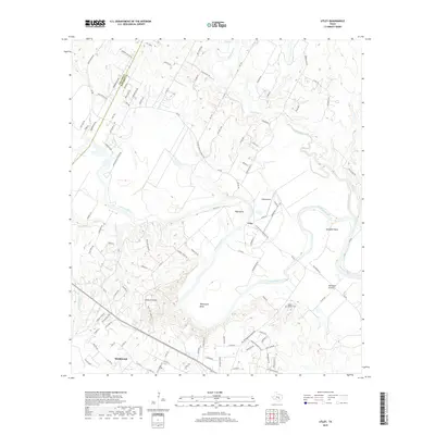
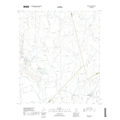
2022 Map of Winchester
USGS Topo · Published 2022About this map
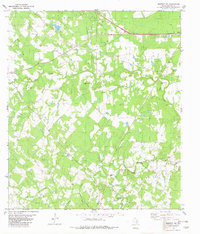
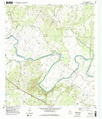
The Colorado River carves the southwestern corner of this landscape, anchoring a rural territory where the borders of Bastrop, Lee, and Fayette counties converge. Near the eastern edge, the community of Winchester serves as a local focal point, characterized by several burial grounds including Winchester Cem, Shiloh Cem, and the Saint Michaels Lutheran Church Cem. The terrain is defined by a dense network of seasonal drainages like Pin Oak Cr and Gravelly Cr, which feed into local landmarks such as Lake Thunderbird and Parker Lake Dam. This 2022 survey reveals a landscape of established family holdings and ranches, such as Meuth Ranch, alongside evidence of resource extraction indicated by Oil Field Rd. The distribution of scattered cemeteries, including the Cunningham Cem and Saint Marys Catholic Cem, suggests a deep-rooted pattern of family settlement across these Texas plains.
Find a feature on this map
99 named features on this map. Tap any name to fly to it.
Don’t see what you’re looking for? This feature index may not catch every label — zoom into the map to look around manually.
Map Details
Editions of this 2022 Winchester Map
This is the sole edition of this map. No revisions or reprints were ever made.
Historical Maps of Smithville Through Time
54 maps found
1964 Jeddo
Bastrop County, TX
1964 Togo
Bastrop County, TX
1968 Lytton Springs
Bastrop County, TX
1982 Bastrop SW
Bastrop County, TX
1982 Elgin East
Bastrop County, TX
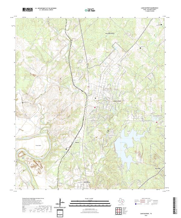
1982 Lake Bastrop
Bastrop County, TX
1982 Smithville NW
Bastrop County, TX
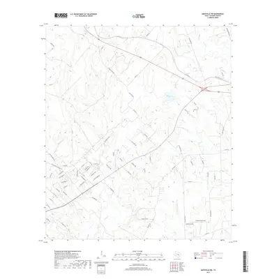
1982 Utley
Bastrop County, TX
1982 Winchester
Bastrop County, TX
2010 Bastrop SW
Bastrop County, TX
2010 Elgin East
Bastrop County, TX
2010 Jeddo
Bastrop County, TX
2010 Lake Bastrop
Bastrop County, TX
2010 Lytton Springs
Bastrop County, TX
2010 Smithville NW
Bastrop County, TX
2010 Togo
Bastrop County, TX
2010 Utley
Bastrop County, TX
2010 Winchester
Bastrop County, TX
2012 Bastrop SW
Bastrop County, TX
2012 Elgin East
Bastrop County, TX
2012 Lytton Springs
Bastrop County, TX
2012 Smithville NW
Bastrop County, TX
2013 Jeddo
Bastrop County, TX
2013 Lake Bastrop
Bastrop County, TX
2013 Togo
Bastrop County, TX

2013 Utley
Bastrop County, TX
2013 Winchester
Bastrop County, TX
2016 Bastrop SW
Bastrop County, TX
2016 Elgin East
Bastrop County, TX
2016 Jeddo
Bastrop County, TX
2016 Lake Bastrop
Bastrop County, TX
2016 Lytton Springs
Bastrop County, TX
2016 Smithville NW
Bastrop County, TX
2016 Togo
Bastrop County, TX
2016 Utley
Bastrop County, TX
2016 Winchester
Bastrop County, TX
2019 Bastrop SW
Bastrop County, TX
2019 Elgin East
Bastrop County, TX
2019 Jeddo
Bastrop County, TX
2019 Lake Bastrop
Bastrop County, TX
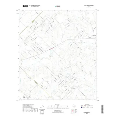
2019 Lytton Springs
Bastrop County, TX
2019 Smithville NW
Bastrop County, TX
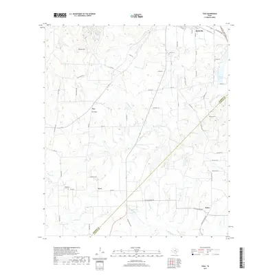
2019 Togo
Bastrop County, TX
2019 Utley
Bastrop County, TX
2019 Winchester
Bastrop County, TX
2022 Bastrop SW
Bastrop County, TX
2022 Elgin East
Bastrop County, TX
2022 Jeddo
Bastrop County, TX
2022 Lake Bastrop
Bastrop County, TX
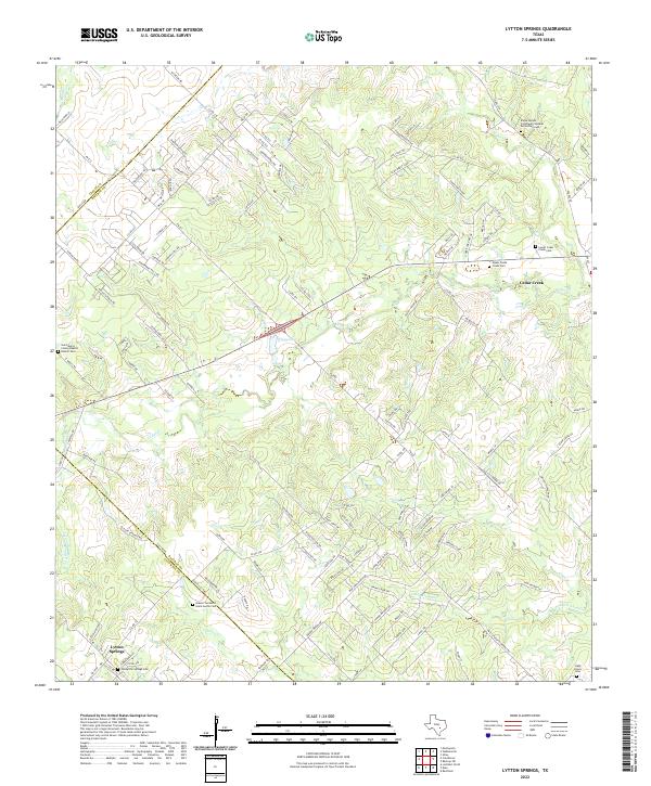
2022 Lytton Springs
Bastrop County, TX
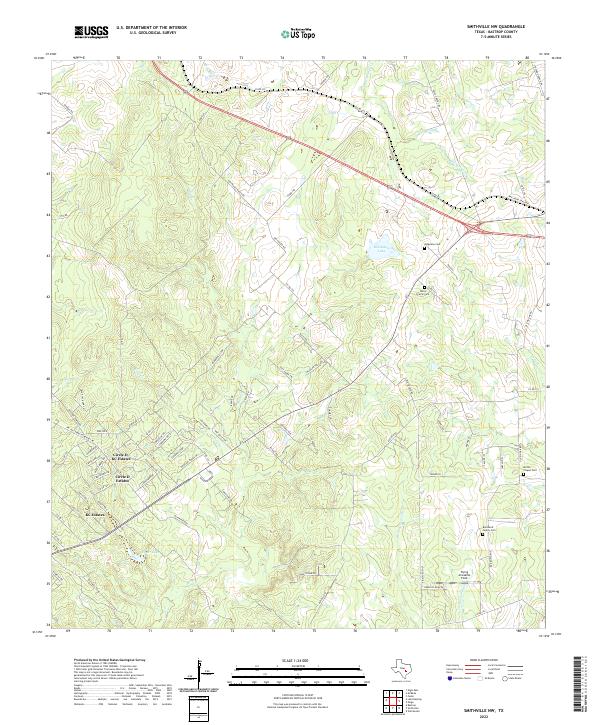
2022 Smithville NW
Bastrop County, TX
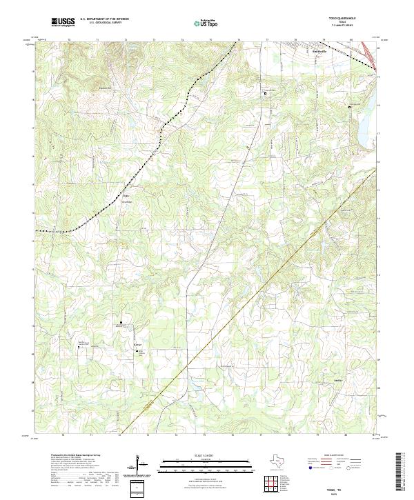
2022 Togo
Bastrop County, TX
2022 Utley
Bastrop County, TX
2022 Winchester
Bastrop County, TX