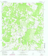
1964 Map of Jeddo
USGS Topo · Published 1982About this map
Jeddo and Salem anchor this rural landscape along the borders of Bastrop, Caldwell, Fayette, and Gonzales counties as it appeared in the early 1960s. The terrain is defined by the winding paths of Peach Creek and Copperas Creek, which flow through a region of scattered farmsteads and small country congregations. Local history is centered around sites such as St Phillips Chapel and its associated St Phillips Cem, alongside Williams Chapel and the Jeddo Cem further south. These features, along with prominent landmarks like Brown Hill, suggest a persistent agricultural and community structure that remained largely unchanged into the early 1980s. A small Gravel Pit and isolated Landing Strips provide evidence of local industry and transport within this four-county junction, while the many fence lines and unimproved roads show the deep-seated property divisions of the Texas countryside.
Find a feature on this map
17 named features on this map. Tap any name to fly to it.
Don’t see what you’re looking for? This feature index may not catch every label — zoom into the map to look around manually.
Map Details
Editions of this 1964 Jeddo Map
3 editions found
Other maps of this area

1901 · Flatonia
USGS Topo · 1:125,000

1953 · Seguin
USGS Topo · 1:250,000

1958 · Seguin
USGS Topo · 1:250,000
1964 · Delhi
USGS Topo · 1:24,000
1964 · Red Rock
USGS Topo · 1:24,000
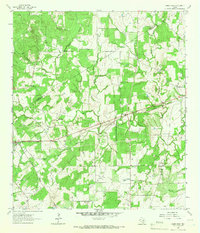
1964 · Sandy Fork
USGS Topo · 1:24,000

1964 · Waelder
USGS Topo · 1:24,000

1964 · Jeddo
USGS Topo · 1:24,000
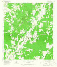
1964 · Rosanky
USGS Topo · 1:24,000
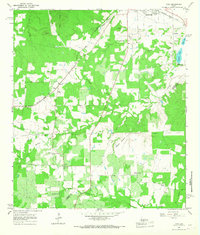
1964 · Togo
USGS Topo · 1:24,000