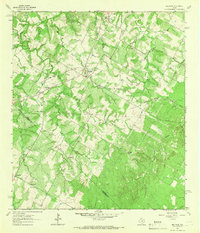
1964 Map of Red Rock
USGS Topo · Published 1966About this map
The Missouri Kansas Texas railroad cuts a diagonal path through this Central Texas landscape, anchoring the community of Red Rock at its crossing with Lower Cedar Hollow. This mid-1960s survey reveals a dispersed network of agricultural settlements and family burial grounds along the Bastrop Co Caldwell Co line. Small hamlets like Rockne, Bateman, and Pettytown define the local geography, connected by winding roads that traverse the drainage basins of Elm Creek and Walnut Creek.
Find a feature on this map
27 named features on this map. Tap any name to fly to it.
Don’t see what you’re looking for? This feature index may not catch every label — zoom into the map to look around manually.
Map Details
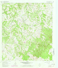
Editions of this 1964 Red Rock Map
2 editions found
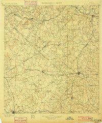
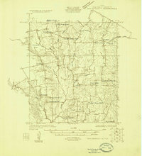
Other maps of this area

1885 · Bastrop
USGS Topo · 1:125,000

1893 · Bastrop
USGS Topo · 1:125,000

1896 · Austin
USGS Topo · 1:125,000

1897 · Austin
USGS Topo · 1:125,000
1901 · Flatonia
USGS Topo · 1:125,000

1904 · Bastrop
USGS Topo · 1:125,000

1910 · Austin
USGS Topo · 1:125,000

1911 · San Marcos
USGS Topo · 1:125,000

1919 · San Marcos
USGS Topo · 1:125,000
1925 · San Marcos 1-d
USGS Topo · 1:48,000