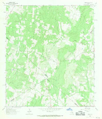
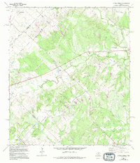
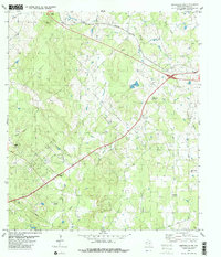
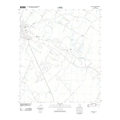
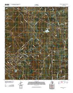
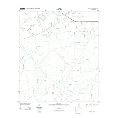
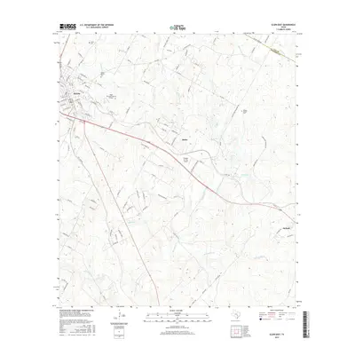
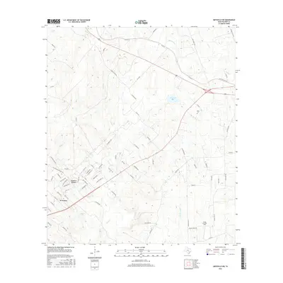
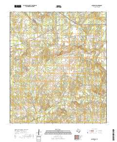
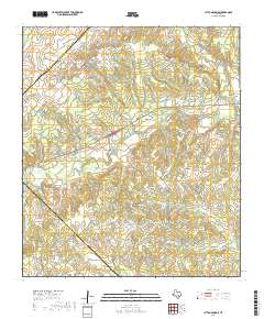
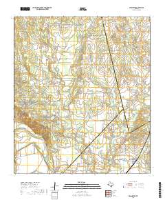
1964 Map of Jeddo
USGS Topo · Published 1971About this map
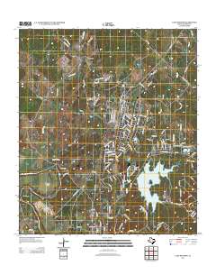
The small settlement of Jeddo serves as a central landmark in this 1964 survey, situated where the borders of Bastrop, Caldwell, and Fayette counties converge. The landscape is defined by the winding paths of Peach Creek and Copperas Creek, which carve through the undulating terrain of south-central Texas. This era of mapping captures rural life through its dispersed community centers, notably the Salem community and the St Phillips Chapel site, which includes the St Phillips Cem.
Find a feature on this map
18 named features on this map. Tap any name to fly to it.
Don’t see what you’re looking for? This feature index may not catch every label — zoom into the map to look around manually.
Map Details
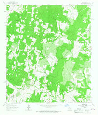
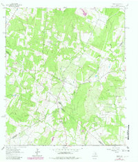
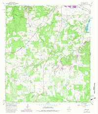
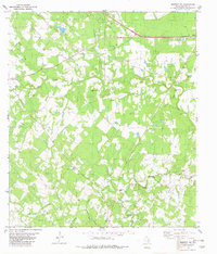
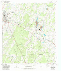
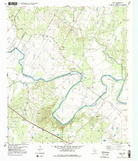
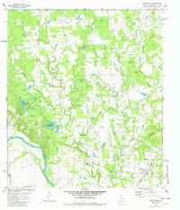
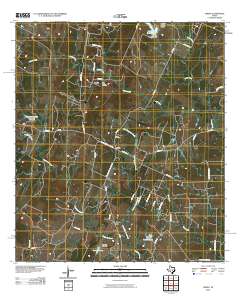
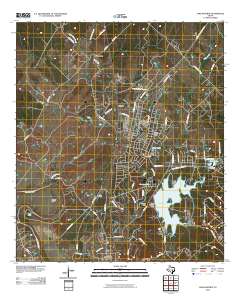
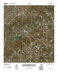
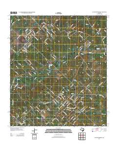
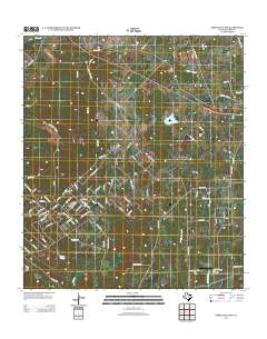
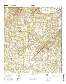
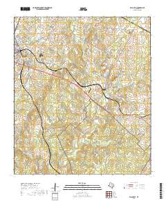
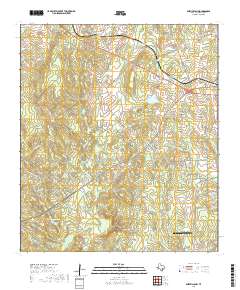
Editions of this 1964 Jeddo Map
3 editions found
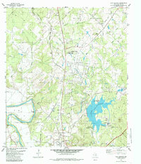
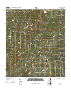
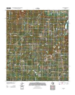
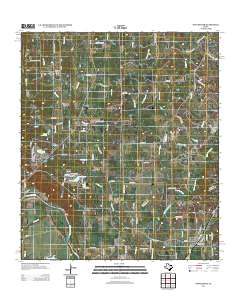
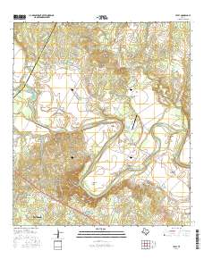
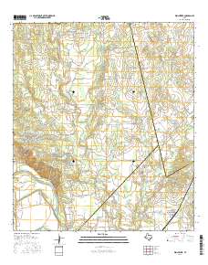
Historical Maps of Jeddo Through Time
54 maps found
1964 Jeddo
Bastrop County, TX
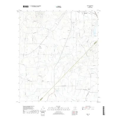
1964 Togo
Bastrop County, TX
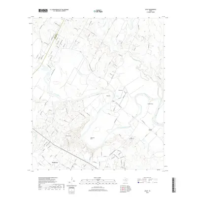
1968 Lytton Springs
Bastrop County, TX
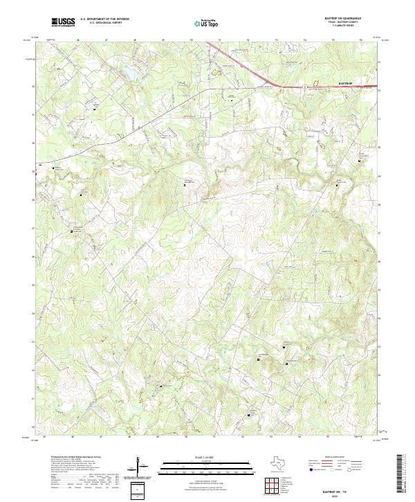
1982 Bastrop SW
Bastrop County, TX
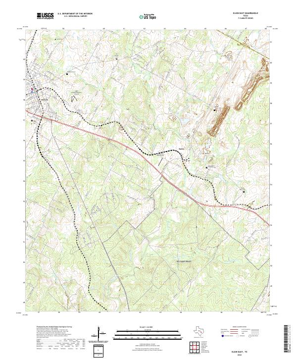
1982 Elgin East
Bastrop County, TX
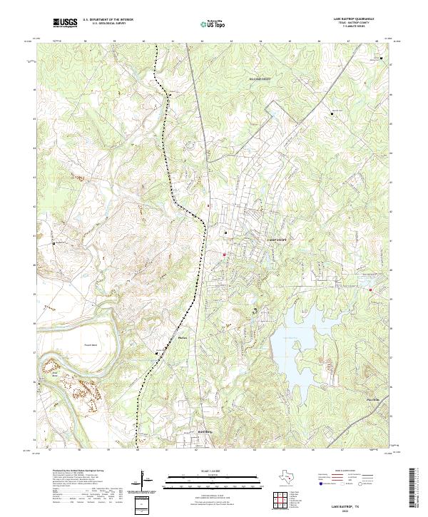
1982 Lake Bastrop
Bastrop County, TX
1982 Smithville NW
Bastrop County, TX
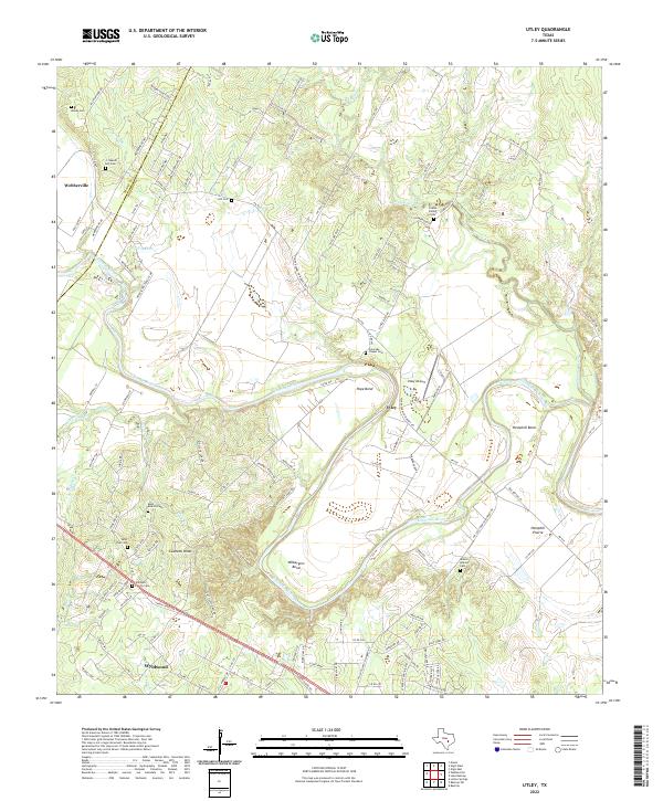
1982 Utley
Bastrop County, TX
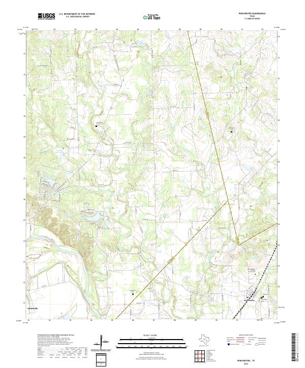
1982 Winchester
Bastrop County, TX
2010 Bastrop SW
Bastrop County, TX
2010 Elgin East
Bastrop County, TX
2010 Jeddo
Bastrop County, TX
2010 Lake Bastrop
Bastrop County, TX
2010 Lytton Springs
Bastrop County, TX
2010 Smithville NW
Bastrop County, TX
2010 Togo
Bastrop County, TX
2010 Utley
Bastrop County, TX
2010 Winchester
Bastrop County, TX
2012 Bastrop SW
Bastrop County, TX

2012 Elgin East
Bastrop County, TX
2012 Lytton Springs
Bastrop County, TX
2012 Smithville NW
Bastrop County, TX
2013 Jeddo
Bastrop County, TX
2013 Lake Bastrop
Bastrop County, TX
2013 Togo
Bastrop County, TX

2013 Utley
Bastrop County, TX
2013 Winchester
Bastrop County, TX
2016 Bastrop SW
Bastrop County, TX
2016 Elgin East
Bastrop County, TX
2016 Jeddo
Bastrop County, TX
2016 Lake Bastrop
Bastrop County, TX
2016 Lytton Springs
Bastrop County, TX
2016 Smithville NW
Bastrop County, TX
2016 Togo
Bastrop County, TX
2016 Utley
Bastrop County, TX
2016 Winchester
Bastrop County, TX
2019 Bastrop SW
Bastrop County, TX
2019 Elgin East
Bastrop County, TX
2019 Jeddo
Bastrop County, TX
2019 Lake Bastrop
Bastrop County, TX
2019 Lytton Springs
Bastrop County, TX
2019 Smithville NW
Bastrop County, TX
2019 Togo
Bastrop County, TX
2019 Utley
Bastrop County, TX
2019 Winchester
Bastrop County, TX
2022 Bastrop SW
Bastrop County, TX
2022 Elgin East
Bastrop County, TX
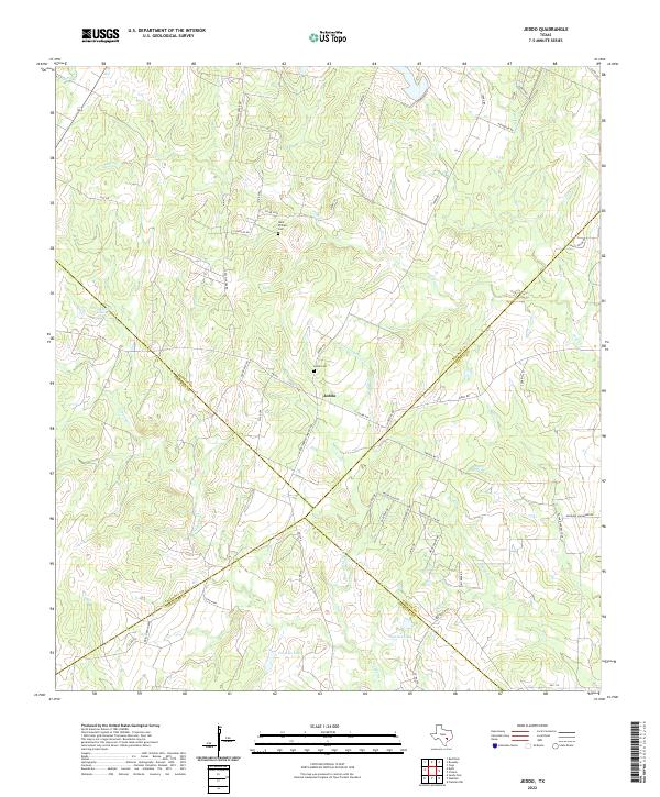
2022 Jeddo
Bastrop County, TX
2022 Lake Bastrop
Bastrop County, TX
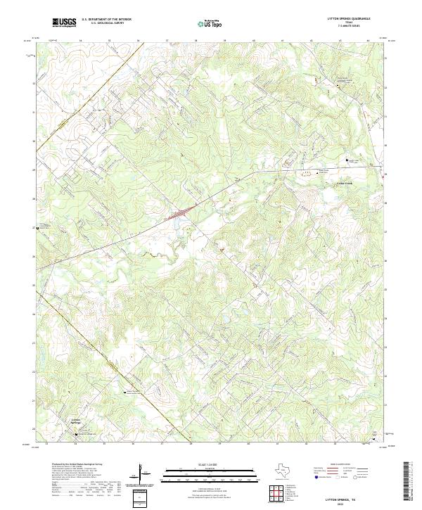
2022 Lytton Springs
Bastrop County, TX
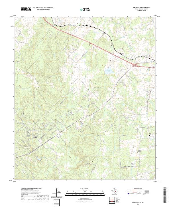
2022 Smithville NW
Bastrop County, TX
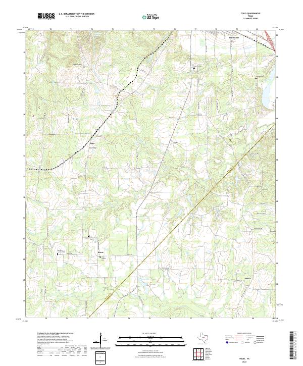
2022 Togo
Bastrop County, TX
2022 Utley
Bastrop County, TX
2022 Winchester
Bastrop County, TX