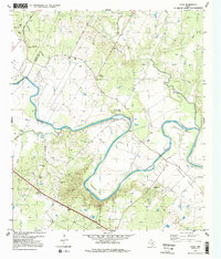
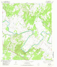
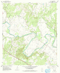
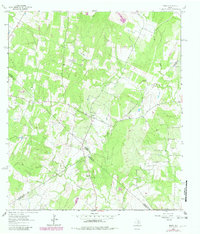
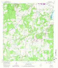
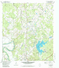
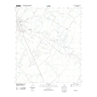
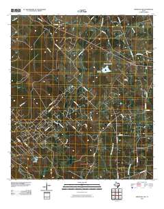
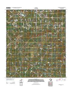
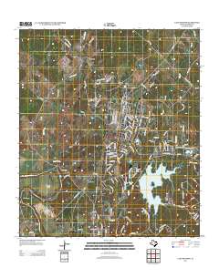
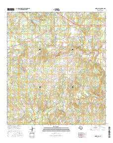
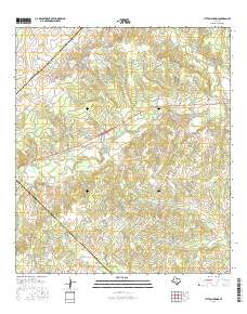
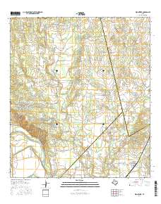
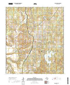
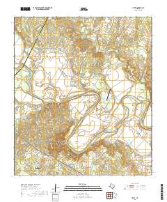
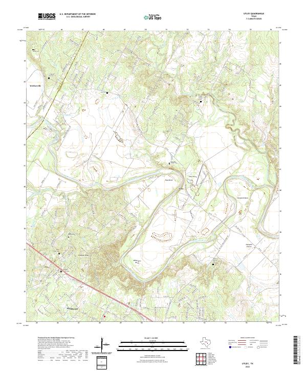
1982 Map of Utley
USGS Topo · Published 1991About this map
The winding loops of the Colorado River define this rural landscape on the border of Travis and Bastrop counties. In the early 1980s, the terrain shows a pattern of river-bend agriculture and scattered communities like Utley and Wyldwood. The area is notably dense with small family and community burial sites, from the St Paul Ch Williams Cem to the Walker-Watson Cem, suggesting long-standing family settlements across the Hemphill Prairie. Prominent landmarks like Caldwell Knob rise above the alluvial plains, while the river carves deep oxbows at Pope Bend, Hemphill Bend, and Wilbarger Bend. This survey documents a quiet rural transition before modern suburban expansion, preserving the locations of local landmarks such as Cedar Valley Ch and the numerous gravel pits that once supported the local road network.
Find a feature on this map
36 named features on this map. Tap any name to fly to it.
Don’t see what you’re looking for? This feature index may not catch every label — zoom into the map to look around manually.
Map Details
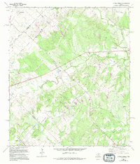
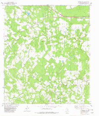
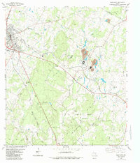
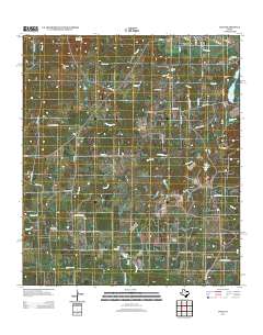
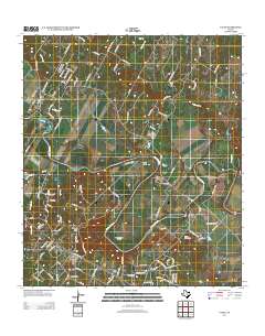
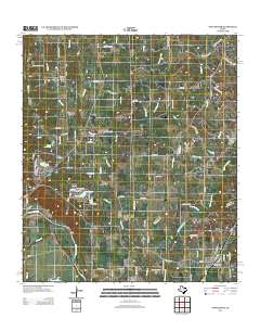
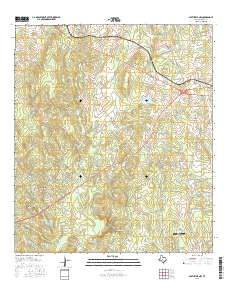
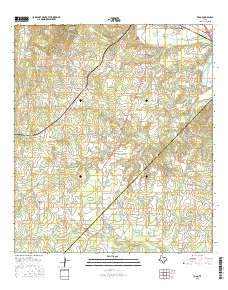
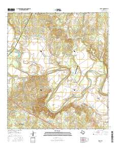
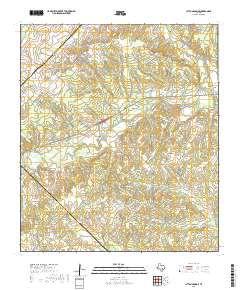
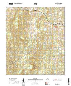
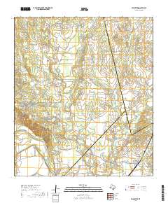
Editions of this 1982 Utley Map
3 editions found
Historical Maps of Webberville Through Time
54 maps found
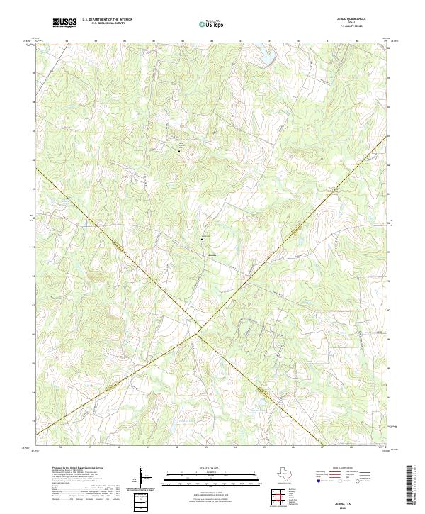
1964 Jeddo
Bastrop County, TX
1964 Togo
Bastrop County, TX
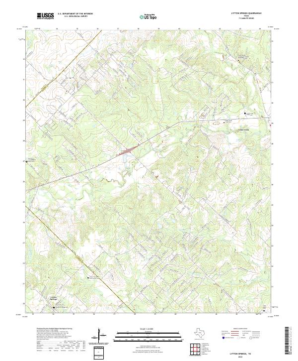
1968 Lytton Springs
Bastrop County, TX
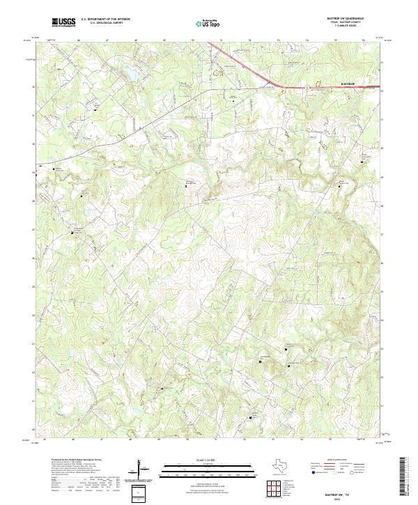
1982 Bastrop SW
Bastrop County, TX
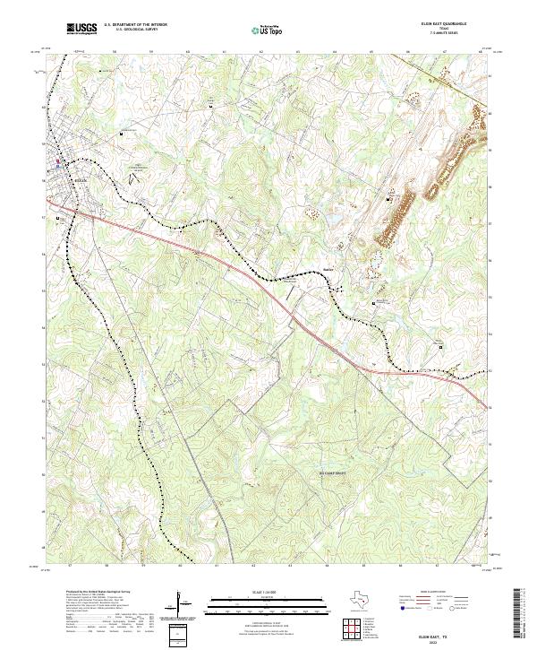
1982 Elgin East
Bastrop County, TX
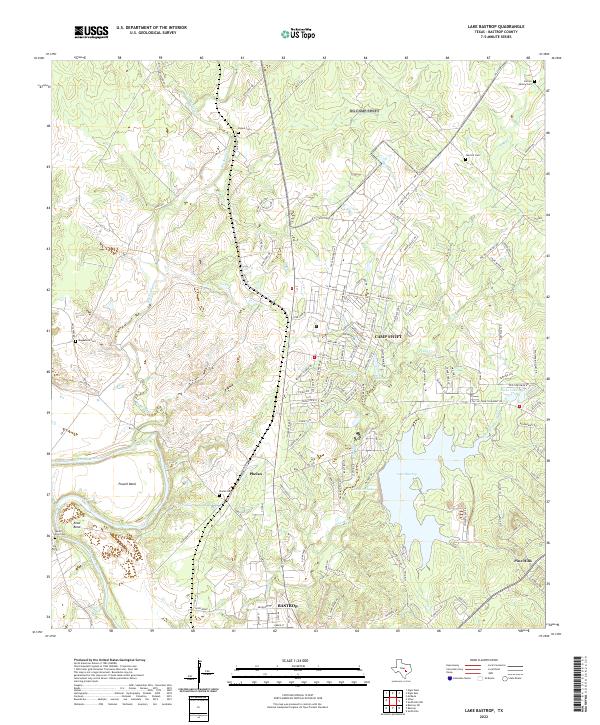
1982 Lake Bastrop
Bastrop County, TX
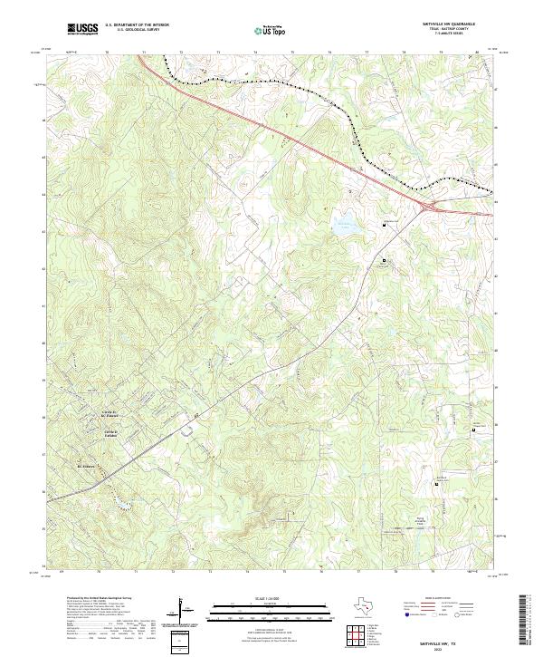
1982 Smithville NW
Bastrop County, TX
1982 Utley
Bastrop County, TX
1982 Winchester
Bastrop County, TX
2010 Bastrop SW
Bastrop County, TX
2010 Elgin East
Bastrop County, TX
2010 Jeddo
Bastrop County, TX
2010 Lake Bastrop
Bastrop County, TX
2010 Lytton Springs
Bastrop County, TX
2010 Smithville NW
Bastrop County, TX
2010 Togo
Bastrop County, TX
2010 Utley
Bastrop County, TX
2010 Winchester
Bastrop County, TX
2012 Bastrop SW
Bastrop County, TX

2012 Elgin East
Bastrop County, TX
2012 Lytton Springs
Bastrop County, TX
2012 Smithville NW
Bastrop County, TX
2013 Jeddo
Bastrop County, TX
2013 Lake Bastrop
Bastrop County, TX
2013 Togo
Bastrop County, TX
2013 Utley
Bastrop County, TX
2013 Winchester
Bastrop County, TX
2016 Bastrop SW
Bastrop County, TX
2016 Elgin East
Bastrop County, TX
2016 Jeddo
Bastrop County, TX
2016 Lake Bastrop
Bastrop County, TX
2016 Lytton Springs
Bastrop County, TX
2016 Smithville NW
Bastrop County, TX
2016 Togo
Bastrop County, TX
2016 Utley
Bastrop County, TX
2016 Winchester
Bastrop County, TX
2019 Bastrop SW
Bastrop County, TX
2019 Elgin East
Bastrop County, TX
2019 Jeddo
Bastrop County, TX
2019 Lake Bastrop
Bastrop County, TX
2019 Lytton Springs
Bastrop County, TX
2019 Smithville NW
Bastrop County, TX
2019 Togo
Bastrop County, TX
2019 Utley
Bastrop County, TX
2019 Winchester
Bastrop County, TX
2022 Bastrop SW
Bastrop County, TX
2022 Elgin East
Bastrop County, TX
2022 Jeddo
Bastrop County, TX
2022 Lake Bastrop
Bastrop County, TX
2022 Lytton Springs
Bastrop County, TX
2022 Smithville NW
Bastrop County, TX
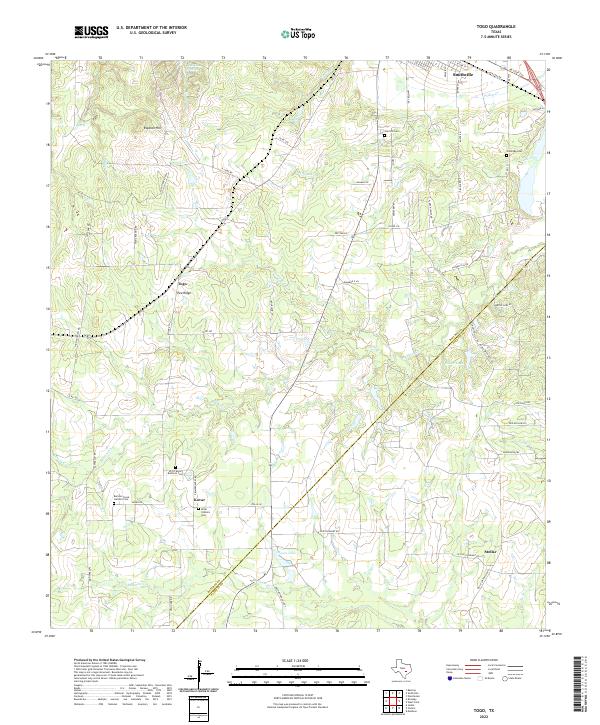
2022 Togo
Bastrop County, TX
2022 Utley
Bastrop County, TX
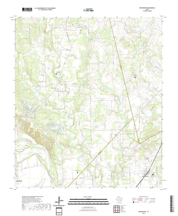
2022 Winchester
Bastrop County, TX