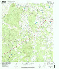
1982 Map of Smithville NW
USGS Topo · Published 1982About this map
The Gotier Trace runs through the southeast corner of this region, providing a tangible link to one of the early pioneer routes across the Texas landscape. Settled agricultural patterns are evident in the scatter of rural community centers like Ridgeway Ch and Milton Chapel, each accompanied by family and community burial grounds such as Ridgeway Cem and Dixon Prairie Cem. The Southern Pacific rail line cuts across the northern terrain, following the higher ground above Rocky Creek and Mid Springs Creek.
Find a feature on this map
27 named features on this map. Tap any name to fly to it.
Don’t see what you’re looking for? This feature index may not catch every label — zoom into the map to look around manually.
Map Details
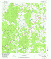
Editions of this 1982 Smithville NW Map
2 editions found
Other maps of this area

1885 · Bastrop
USGS Topo · 1:125,000

1893 · Bastrop
USGS Topo · 1:125,000

1904 · Bastrop
USGS Topo · 1:125,000

1948 · Smithville
USGS Topo · 1:62,500

1948 · Elgin
USGS Topo · 1:62,500

1948 · Bastrop
USGS Topo · 1:62,500

1948 · Lexington
USGS Topo · 1:62,500

1950 · Lexington
USGS Topo · 1:62,500

1950 · Bastrop
USGS Topo · 1:62,500

1950 · Smithville
USGS Topo · 1:62,500