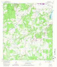
1964 Map of Togo
USGS Topo · Published 1982About this map
The rolling hills of the Bastrop Co Fayette Co line define this central Texas landscape, where the Missouri Kansas Texas railroad cuts through the northern corridor near Smithville. The area shows a transition from agricultural land to industrial gravel extraction, evidenced by numerous Gravel Pits concentrated near the bend of Gazley Creek. Notable for genealogists, the map records several distinct rural communities and their anchors, including the Czech-Moravian Ch and the Old Bartons Creek Cem near Kovar.
Find a feature on this map
33 named features on this map. Tap any name to fly to it.
Don’t see what you’re looking for? This feature index may not catch every label — zoom into the map to look around manually.
Map Details
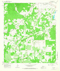
Editions of this 1964 Togo Map
2 editions found
Other maps of this area

1885 · Bastrop
USGS Topo · 1:125,000

1893 · Bastrop
USGS Topo · 1:125,000

1901 · Flatonia
USGS Topo · 1:125,000

1904 · Bastrop
USGS Topo · 1:125,000

1948 · Smithville
USGS Topo · 1:62,500

1948 · Bastrop
USGS Topo · 1:62,500

1950 · Bastrop
USGS Topo · 1:62,500

1950 · Smithville
USGS Topo · 1:62,500

1953 · Seguin
USGS Topo · 1:250,000

1954 · Austin
USGS Topo · 1:250,000