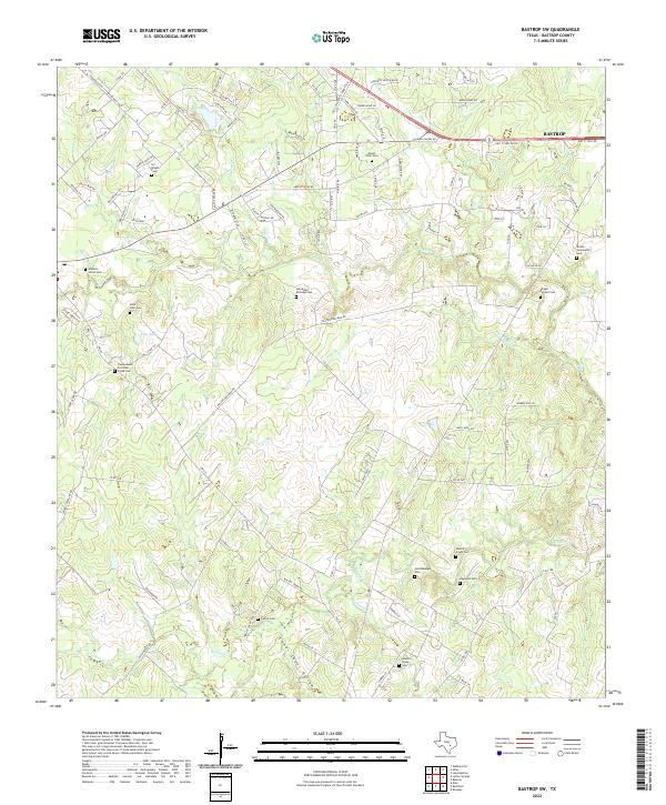
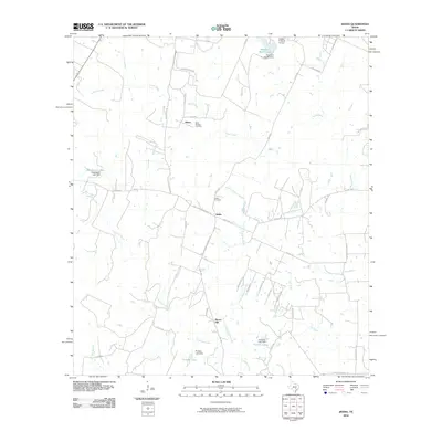
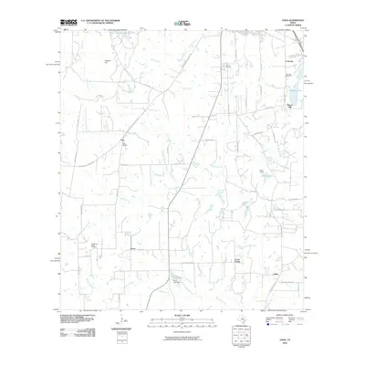
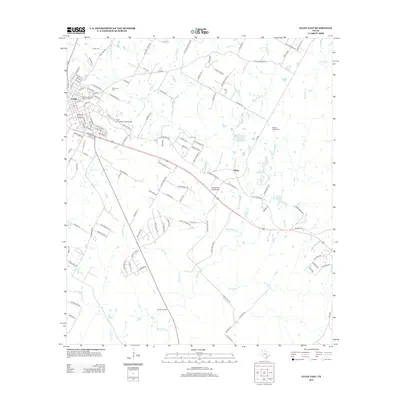
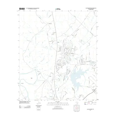
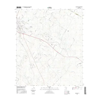
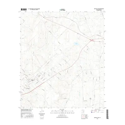
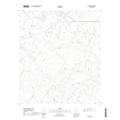
2022 Map of Bastrop SW
USGS Topo · Published 2022About this map
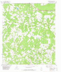
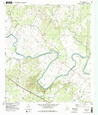
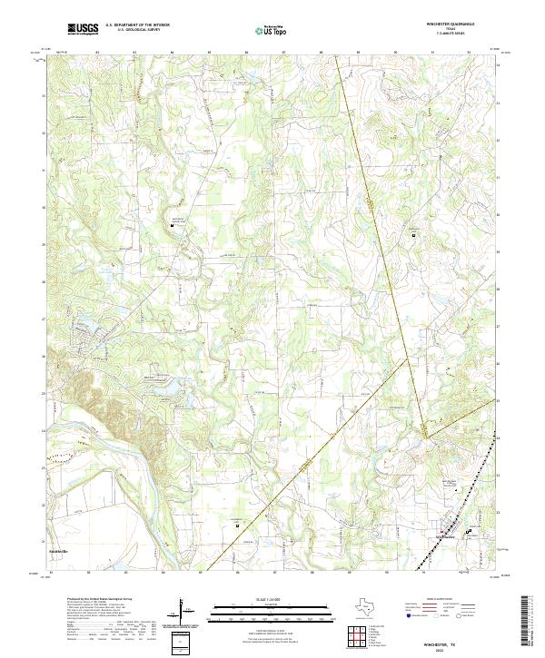
Family legacies and rural burial grounds mark the landscape of Bastrop County, southwest of the city of Bastrop. This modern topographic study reveals a high concentration of cemeteries that reflect the area's deep genealogical roots, from the Alexander Eldridge Cem and Addison Litton Cem to the Camposanto De Cedar Creek Cem. The terrain is defined by a network of drainage systems, including Greens Cr, Walnut Cr, and the prominent Lower Cedar Hollow, which cut through the undulating elevations.
Find a feature on this map
99 named features on this map. Tap any name to fly to it.
Don’t see what you’re looking for? This feature index may not catch every label — zoom into the map to look around manually.
Map Details
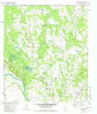
Editions of this 2022 Bastrop SW Map
This is the sole edition of this map. No revisions or reprints were ever made.
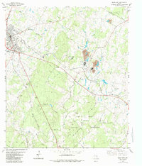
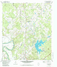
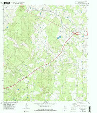
Historical Maps of Bastrop Through Time
54 maps found
1964 Jeddo
Bastrop County, TX
1964 Togo
Bastrop County, TX
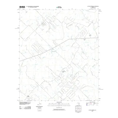
1968 Lytton Springs
Bastrop County, TX
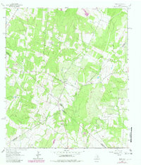
1982 Bastrop SW
Bastrop County, TX
1982 Elgin East
Bastrop County, TX
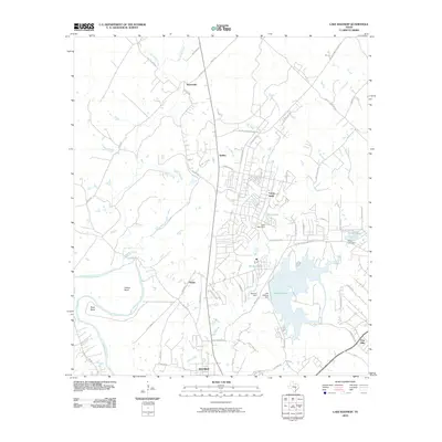
1982 Lake Bastrop
Bastrop County, TX
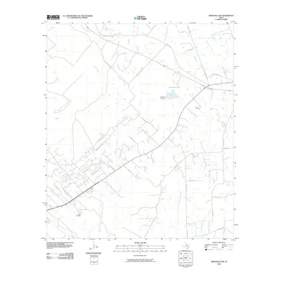
1982 Smithville NW
Bastrop County, TX
1982 Utley
Bastrop County, TX
1982 Winchester
Bastrop County, TX
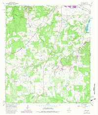
2010 Bastrop SW
Bastrop County, TX
2010 Elgin East
Bastrop County, TX
2010 Jeddo
Bastrop County, TX
2010 Lake Bastrop
Bastrop County, TX
2010 Lytton Springs
Bastrop County, TX
2010 Smithville NW
Bastrop County, TX
2010 Togo
Bastrop County, TX
2010 Utley
Bastrop County, TX
2010 Winchester
Bastrop County, TX
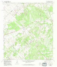
2012 Bastrop SW
Bastrop County, TX
2012 Elgin East
Bastrop County, TX
2012 Lytton Springs
Bastrop County, TX
2012 Smithville NW
Bastrop County, TX
2013 Jeddo
Bastrop County, TX
2013 Lake Bastrop
Bastrop County, TX
2013 Togo
Bastrop County, TX

2013 Utley
Bastrop County, TX
2013 Winchester
Bastrop County, TX
2016 Bastrop SW
Bastrop County, TX
2016 Elgin East
Bastrop County, TX
2016 Jeddo
Bastrop County, TX
2016 Lake Bastrop
Bastrop County, TX
2016 Lytton Springs
Bastrop County, TX
2016 Smithville NW
Bastrop County, TX
2016 Togo
Bastrop County, TX
2016 Utley
Bastrop County, TX
2016 Winchester
Bastrop County, TX
2019 Bastrop SW
Bastrop County, TX
2019 Elgin East
Bastrop County, TX
2019 Jeddo
Bastrop County, TX
2019 Lake Bastrop
Bastrop County, TX
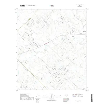
2019 Lytton Springs
Bastrop County, TX
2019 Smithville NW
Bastrop County, TX
2019 Togo
Bastrop County, TX
2019 Utley
Bastrop County, TX
2019 Winchester
Bastrop County, TX
2022 Bastrop SW
Bastrop County, TX
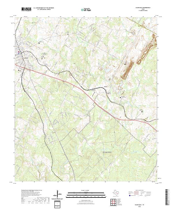
2022 Elgin East
Bastrop County, TX
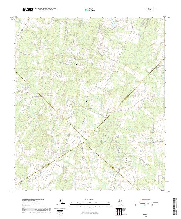
2022 Jeddo
Bastrop County, TX
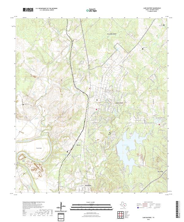
2022 Lake Bastrop
Bastrop County, TX
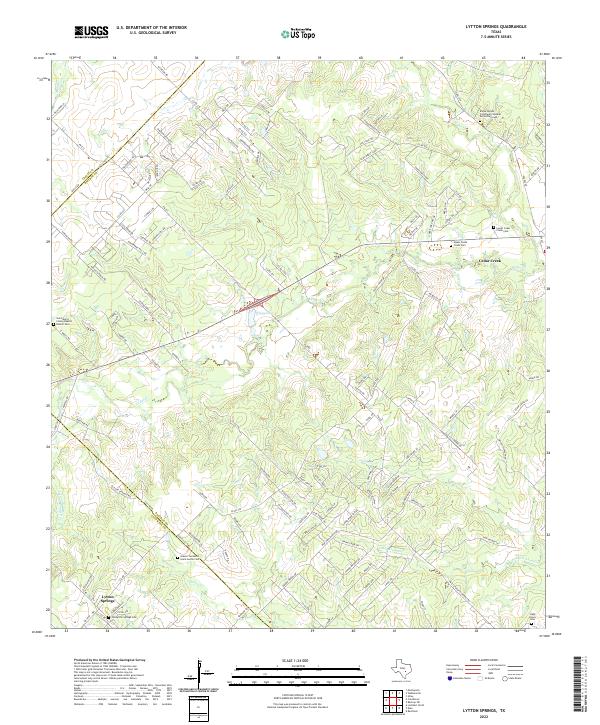
2022 Lytton Springs
Bastrop County, TX
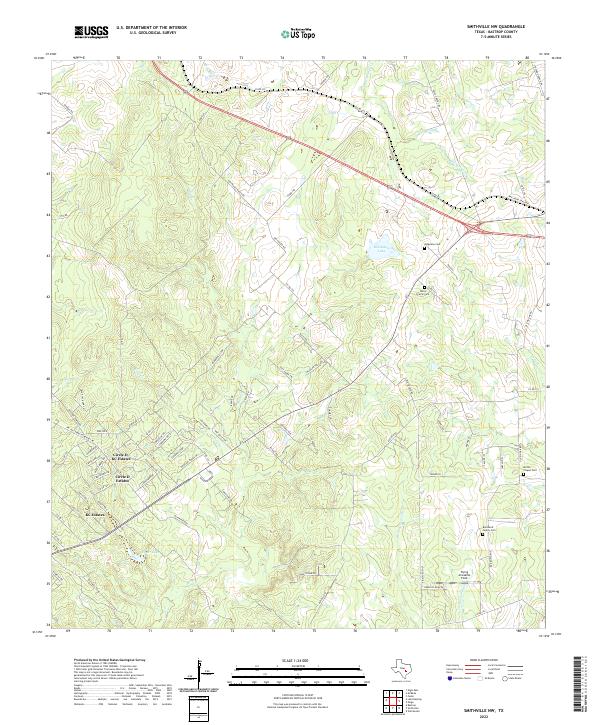
2022 Smithville NW
Bastrop County, TX
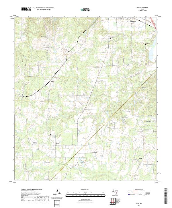
2022 Togo
Bastrop County, TX
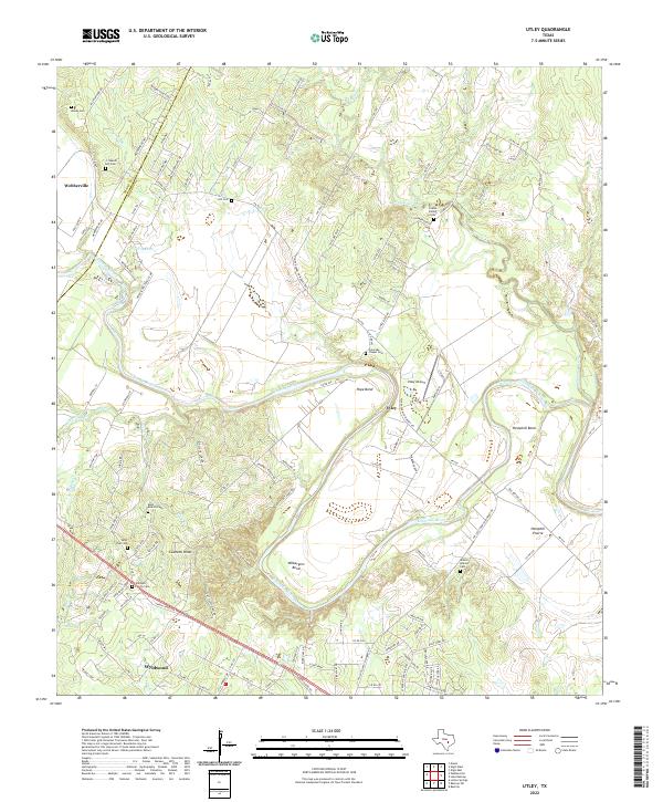
2022 Utley
Bastrop County, TX
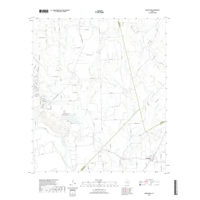
2022 Winchester
Bastrop County, TX